Cycling Eastern Serbia
I would like to tell you about my bicycle trip through Eastern Serbia. This part of the world is beautiful, but there is a big problem with lack of information in English. So I will try to fill this gap.
The route I will describe starts in Belgrade, goes along the Danube River, through Djerdap National Park to the border with Serbia, and returns to Belgrade through Kucaj-Beljanica National Park.
Summary
- Total length: about 700 km;
- Total elevation: about 5000 m;
- Highest climbing category: 2;
- Highest point: 960 m above the sea;
- Estimated days required: 6-7;
- Overall level: medium;
- Recommended lowest gear: 1:1
- Recommended tires: 35+ mm or MTB;
- Link to the routeplanner;
- Link to Kamoot;
- GPX file;
- Total price, including hotels and food in restaurants: 385 Eur⋆;
⋆Autumn, 2023
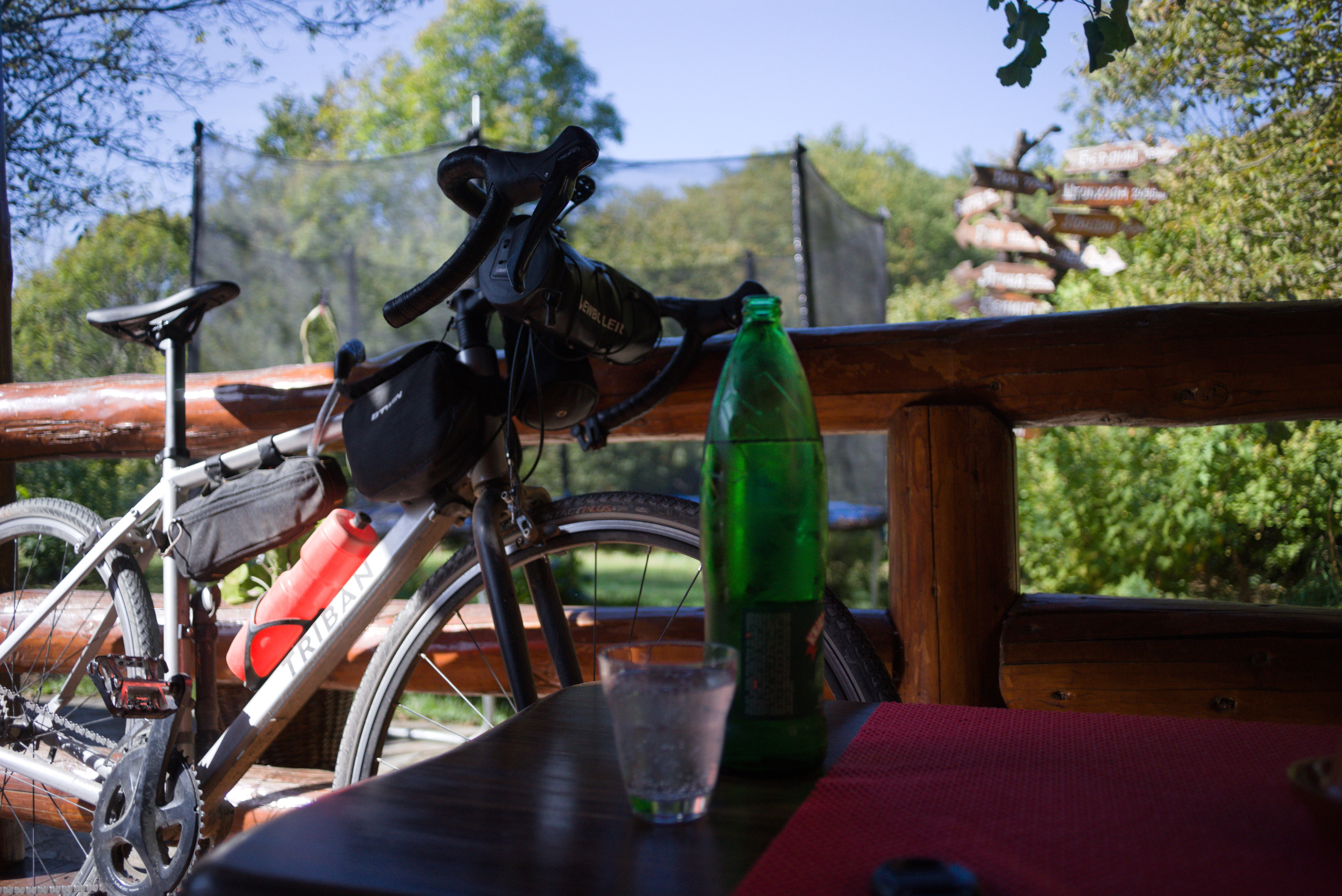
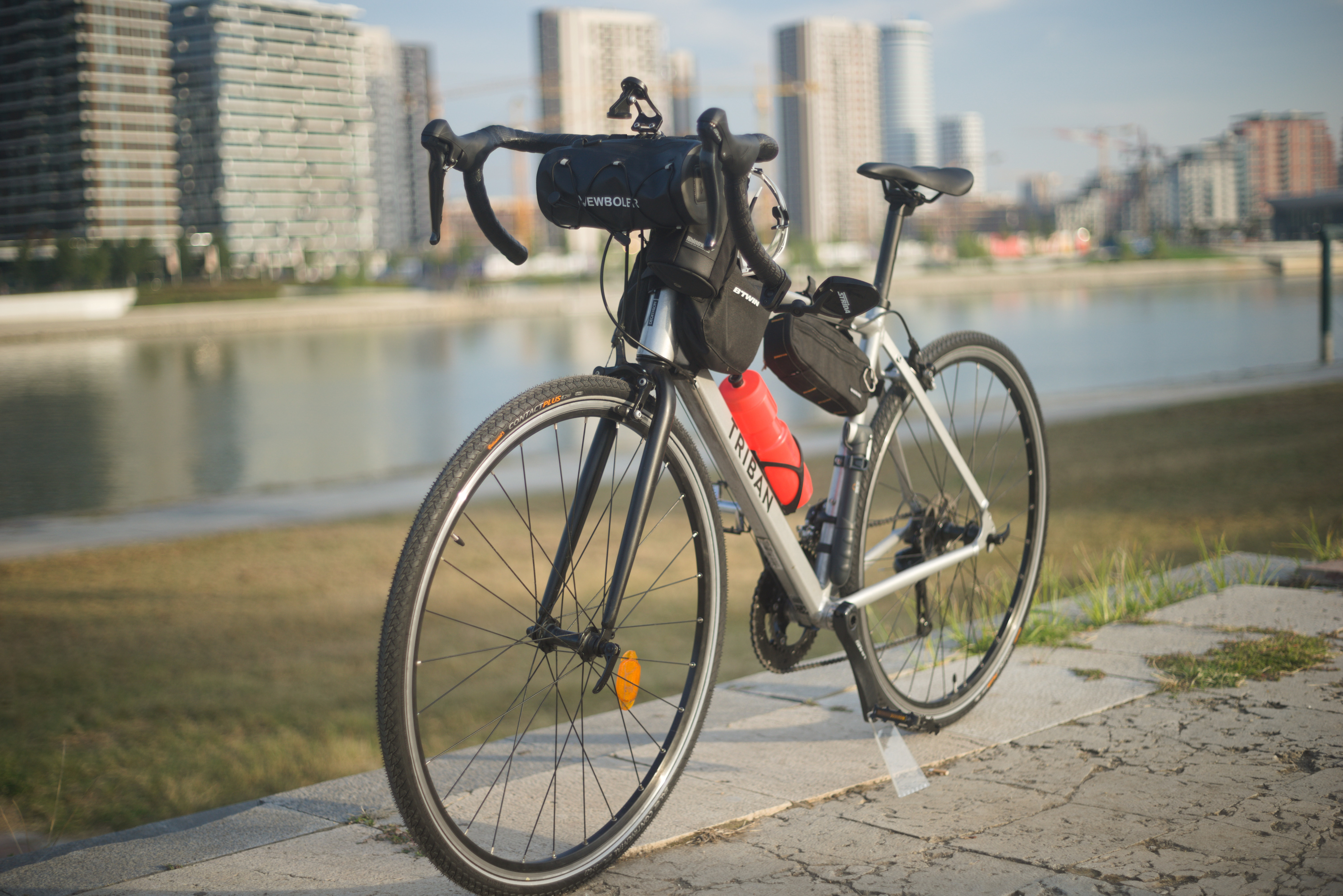
All the pictures were made by myself and are placed under Creative Common License, so you are free to reuse any of these pictures.
The First Day
Belgrade - Ram
- 119 km
- 200 m elevation
- 6 hours
The first day of my route was the way from Belgrade to the city of Ram - a small town on the Danube River. This day I cycled about 120 km on the EuroVel No. 6 mostly. It is the easiest and, I think, the most boring part of the whole route. You only have to go about 100 km away from Belgrade to see the beauty. The route is flat and mostly goes through unpaved roads where you cannot face a car.
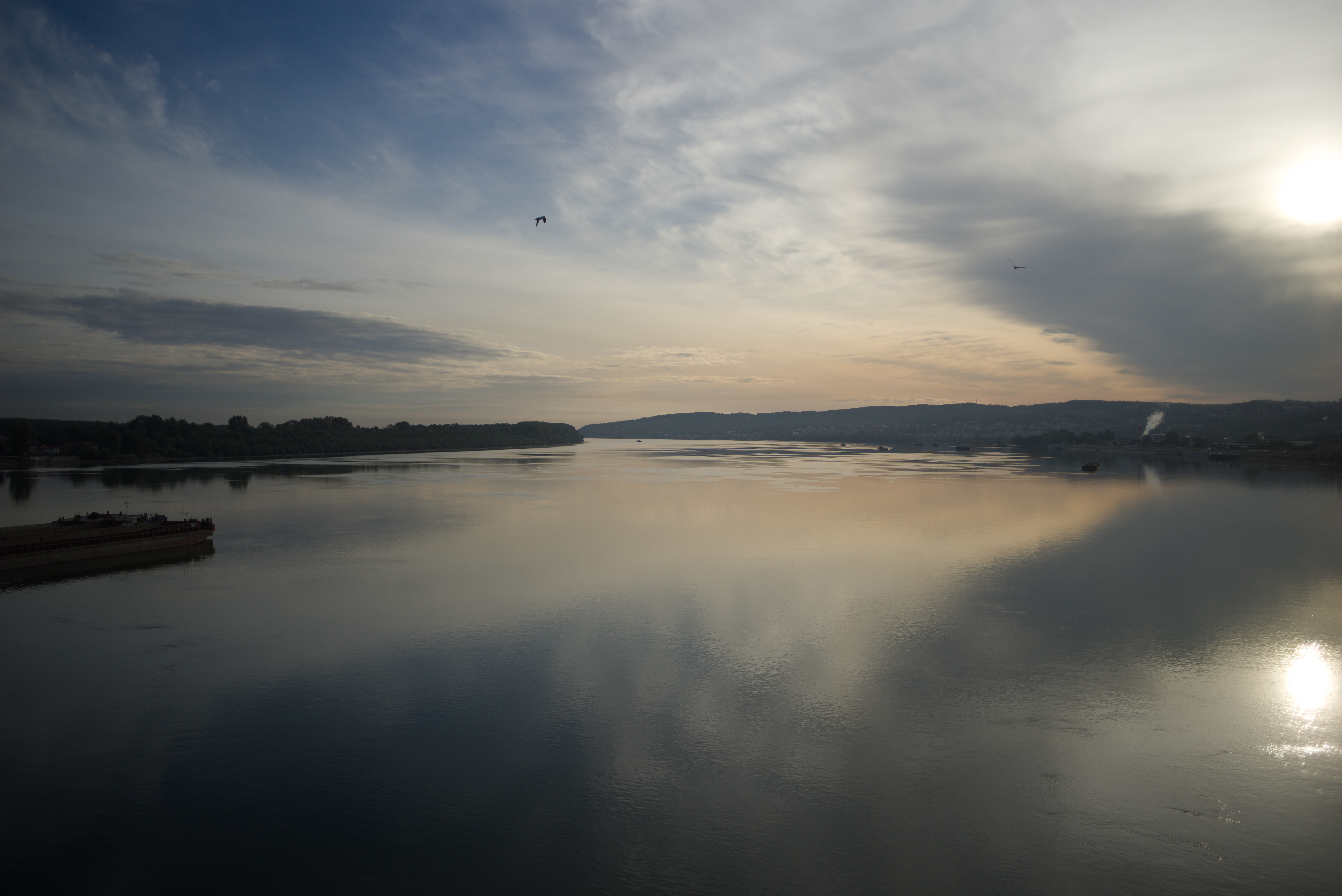
If you start the way early in the morning like I did you will be able to see a sunrise on the Danube from the bridge:
After that you will turn off the busy road onto a dirt road which is the part of EuroVel. The next 20-30 km will be like this. Quiet and relaxing.
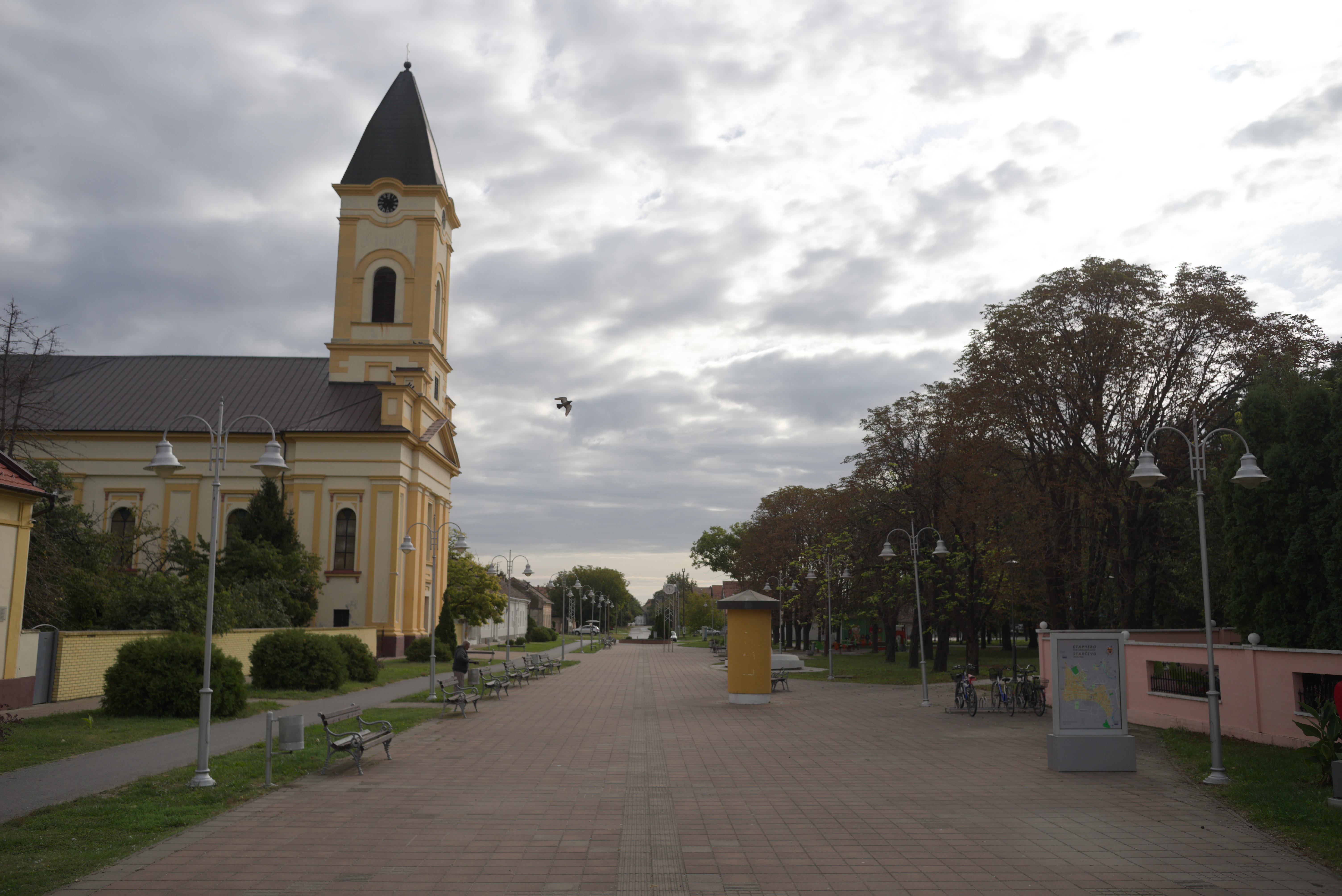
The first small town on the way is Starcevo, where you can rest, drink coffee, refill your water packs and supplies:
The biggest city on your way is the city of Kovin, about 40 km far away from Belgrade. After that you will turn away from asphalt road to unpaved part of the EuroVel. This way will go almost until the city of Bela Crkva:
The road is quiet but can be a little challenging as the surface is partly sand. This part of the route is one of the reasons why I recommend having at least 35 mm tires.
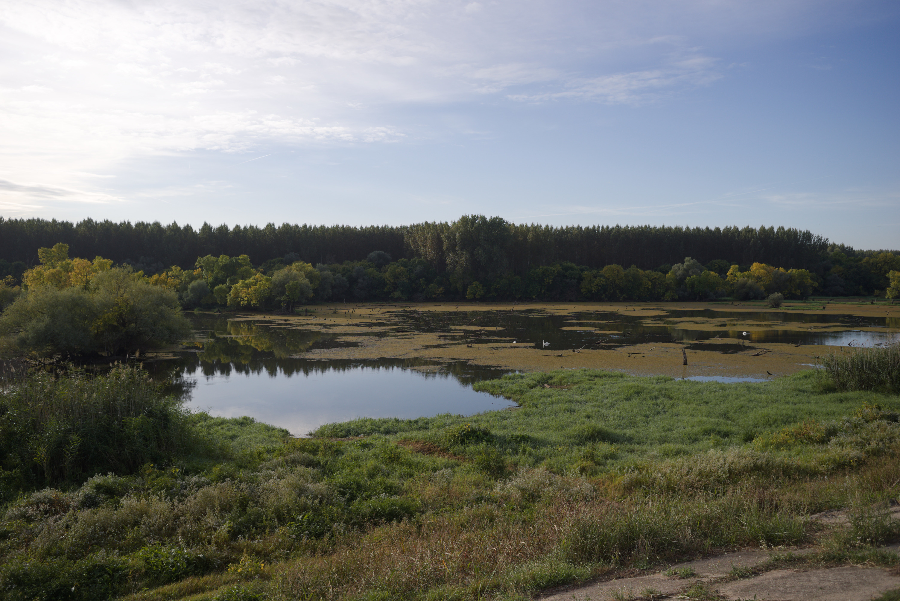
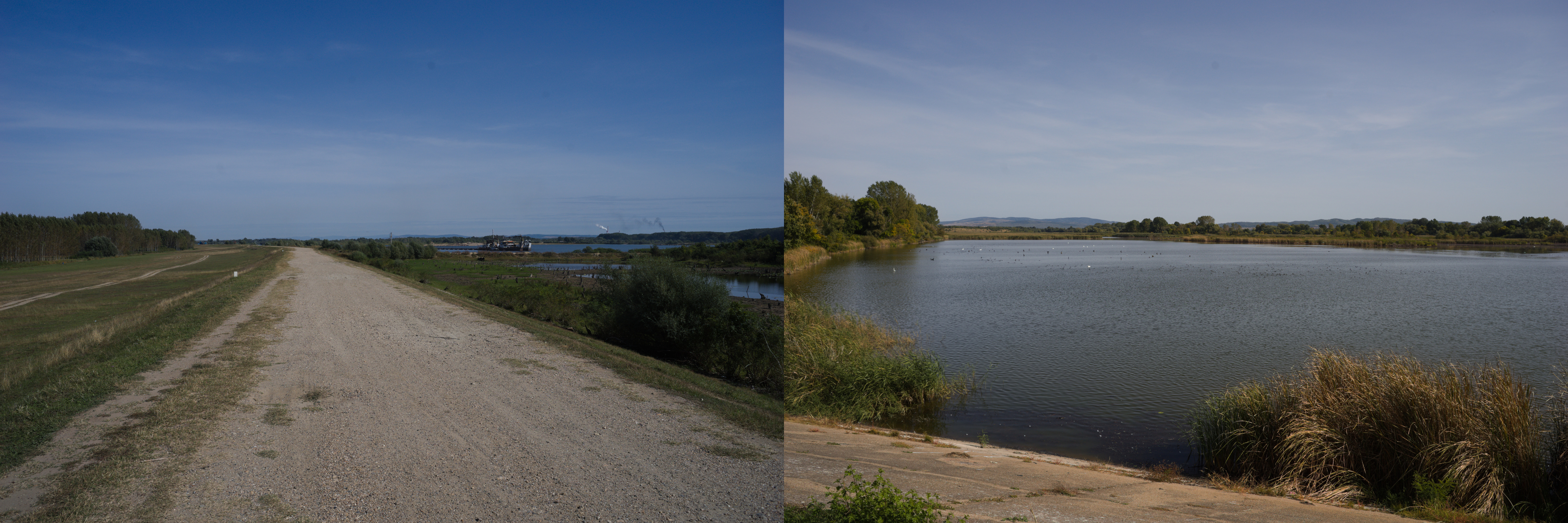
The end of the day will be in the towns of Bela Crkva and Banatska Palanka. Make sure you check the ferry schedule! If you have some time before the ferry, I strongly recommend you to visit Bela Crkva camp and nearby lakes:
After that the last 10 km are the way to the ferry crossing. The ferry station is right next to the restaurant, so you can eat and rest here. The prices are not so high and the view from the restaurant is nice. I caught the beginning of the sunset on the beach, waiting for the ferry:
And the end of the day for me was the very beautiful ferry ride from one side of the Danube to the other. I was able to see a beautiful sunset and a perfect view of the ancient RamFortress:
There are only a few hotels near the ferry station. I choose Rajski Horizonti and can recommend it because there is a place inside the hotel where you can leave the bike. The restaurant is also nearby, in the same building. Try the fish soup made from the local fish - it is really delicious, cheap and the portion is huge (one portion is about two plates).
The Second Day
Ram - Donji Milanovac
- 95 km
- 460 m elevation
- 5 hours 15 minutes
In the morning of the second day, I faced the light rain. It was cold and wet, but I had hope that the forecast was true and the weather would get better.
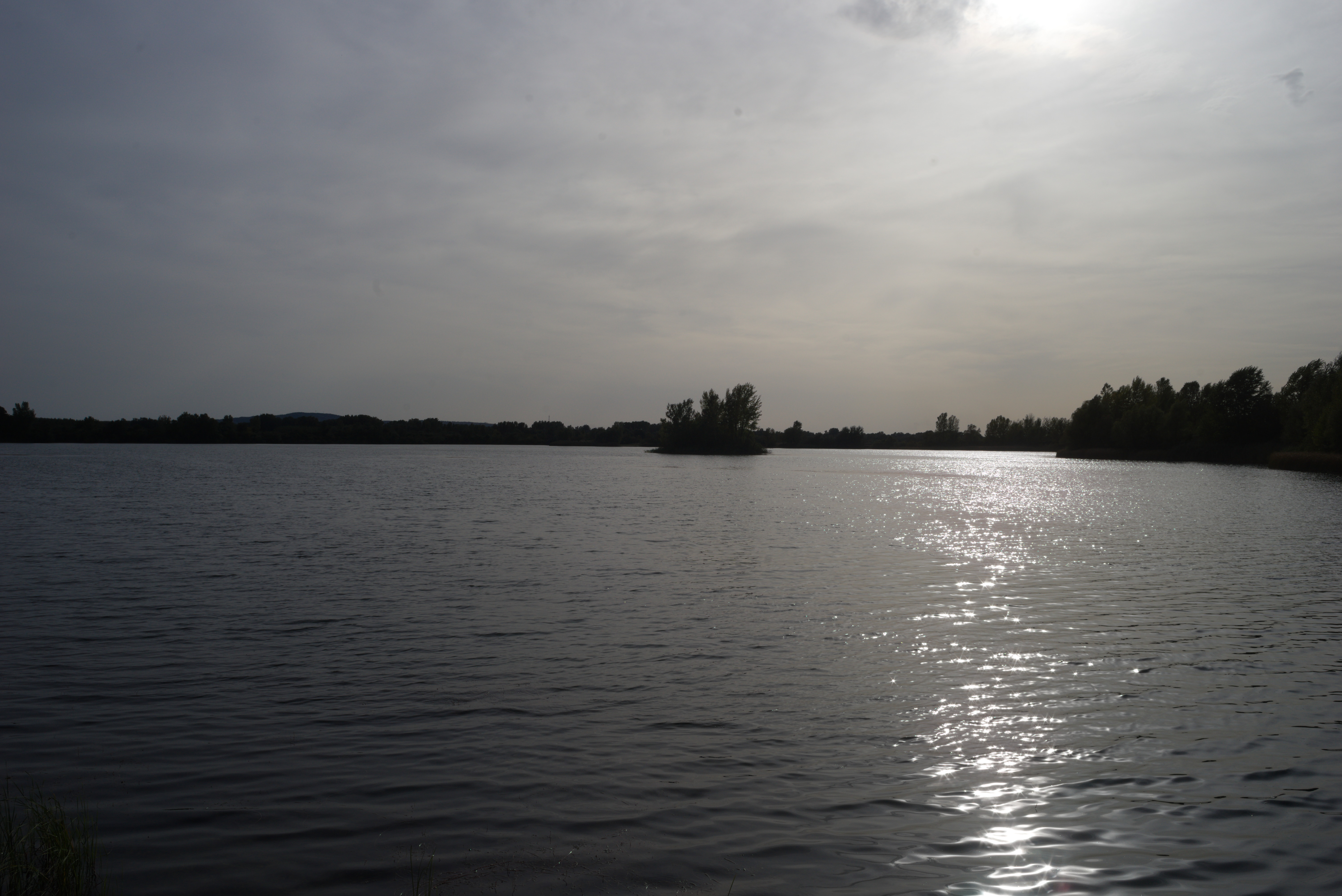
I had a coffee break in the restaurant near the Silver Lake (Srebrno jezero in Serbian) - a well organized resort with cafes, shops, beaches and hotels. I spent about an hour waiting for the weather to improve before I left, but it did not. Finally at about 12 pm I decided to continue my way even under the rain.
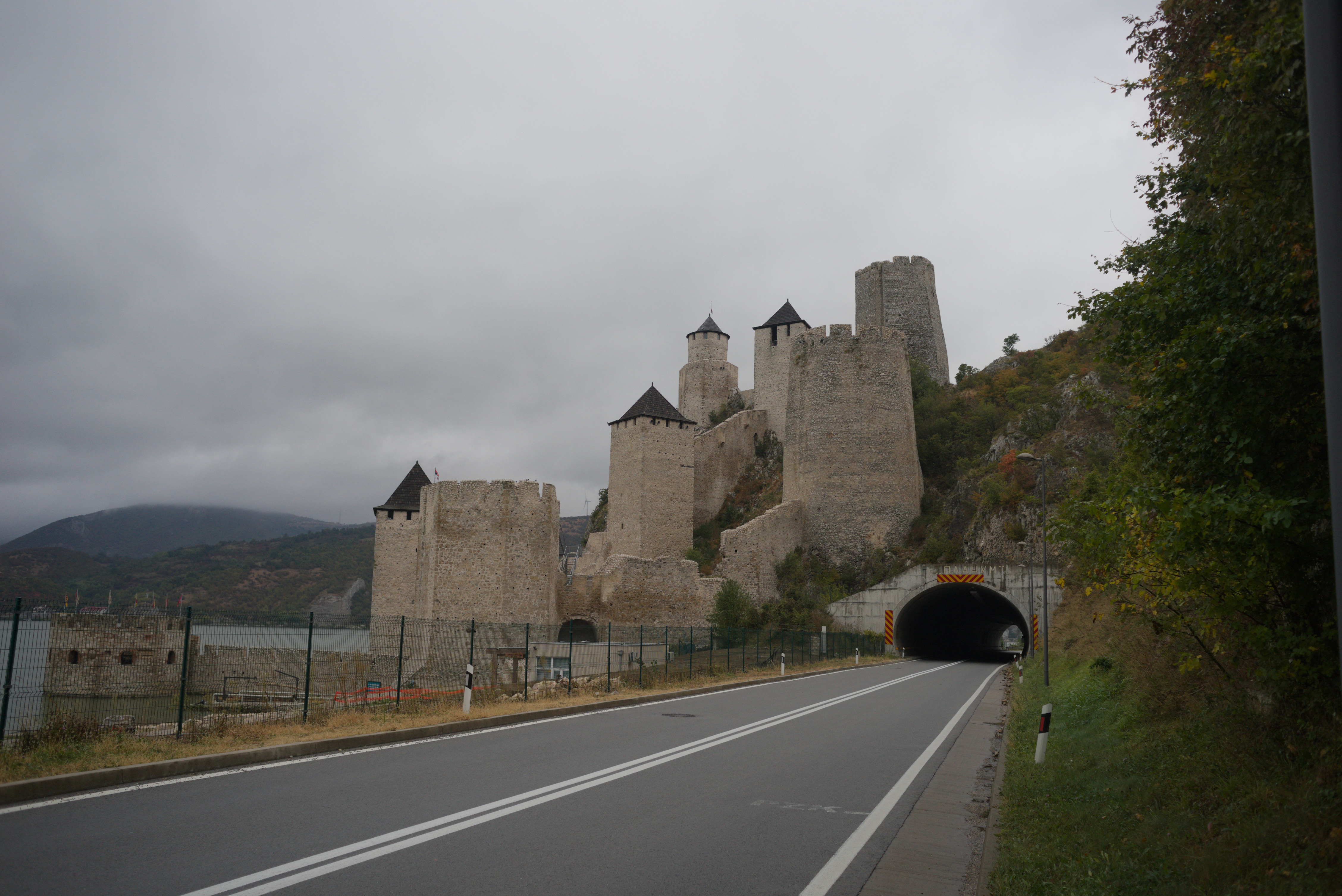
Finally, after another 20 km of cycling, I could see the beginning of the Djerdap Canyon and the Golubac Fortress in the distance. As far as I know, the fortress was built to control the entrance to Djerdap Canyon. To be honest, I was so happy to finally see mountains that any signs of fatigue immediately flew away!
The Golubac fortress itself is a very brutal building that is worth seeing! I heard that it was renovated not so long ago. Anyway, it is in good condition now.
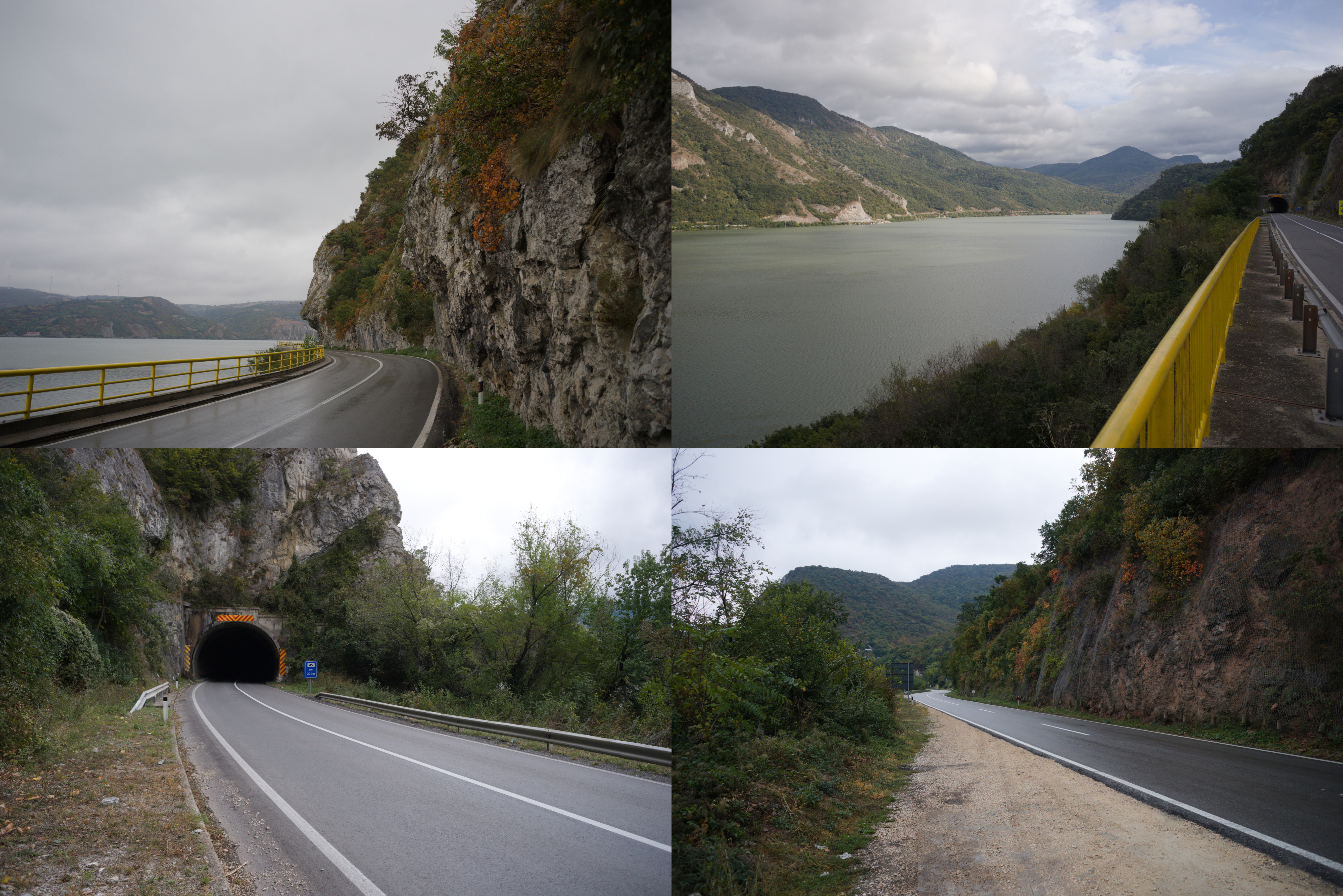
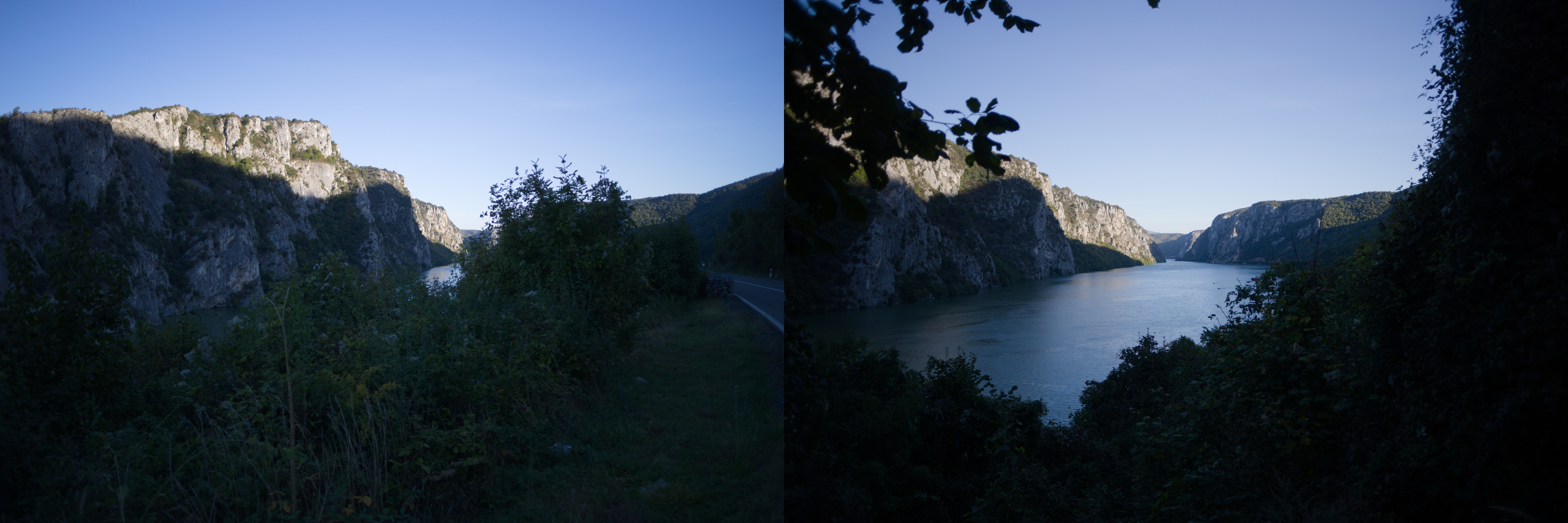
But the whole road along the Djerdap Canyon is also very beautiful. I cycled very slowly just because I wanted to see as much beauty as possible!
You may see tunnels on some photos, but do not be afraid of them. There are only two relatively long tunnels in Djerdap Canyon (about 350 meters), but they are closer to the end of the canyon and there is a special button for cyclists. By pressing the button, you activate a special sign at the entrance of the tunnel, which means something like "Attention! Cyclists in the tunnel, speed 30 km/h". As it is part of EuroVel, there are also signs saying "Attention! Cyclists" everywhere. So do not worry so much about the fact that you are cycling with cars and just relax and see the beauty around you!
The day ended with crossing a bridge with a beautiful view and a final climb.
It was the first serious climb on the way, something between 3d and 4th category by Strava Categorization, but nothing impossible. Only about 200 meters of elevation gain and the average grade is not that high. You have to get used to such climbs, they will follow you the next days. After the climb there is a downhill almost to the final destination of the day - the town of Donji Milanovac.
Donji Milanovac is the town on the mountain and I strongly recommend you to book a room in the town center. If not, you risk to follow my mistake when I booked a room in place on the top. To reach it I climbed about 150 meters of altitude with crazy grade 14-16%… I ate that day in the restaurant Lepenska Ribica and this place is definitely worth my recommendation! Very nice Pljeckavica is here, one of the best I have tasted in Serbia! There is a supermarket nearby where you can buy protein snacks for the next day if you need them. The souvenir shop is across the street from the supermarket.
The Third Day
Donji Milanovac - Brza Palanka
- 90 km
- 500 m elevation
- 5 hours 10 minutes
The next day I benefited from the apartments on the top of the mountain part of Donji Milanovac, because I was able to photograph the town exactly as on the freezer magnets you can buy in the souvenir shop:
When I planned this route, I forgot one important thing about the weather: the Serbian side of the Djerdap Canyon is in the shadow of the mountains until about noon:
It was the coldest morning of the whole trip. I almost prayed for the climb to warm up a bit. And my prayers were answered: there are some climbs, one of them in the 3d category. There are also few tunnels, but as I mentioned before, there is no need to worry about them.
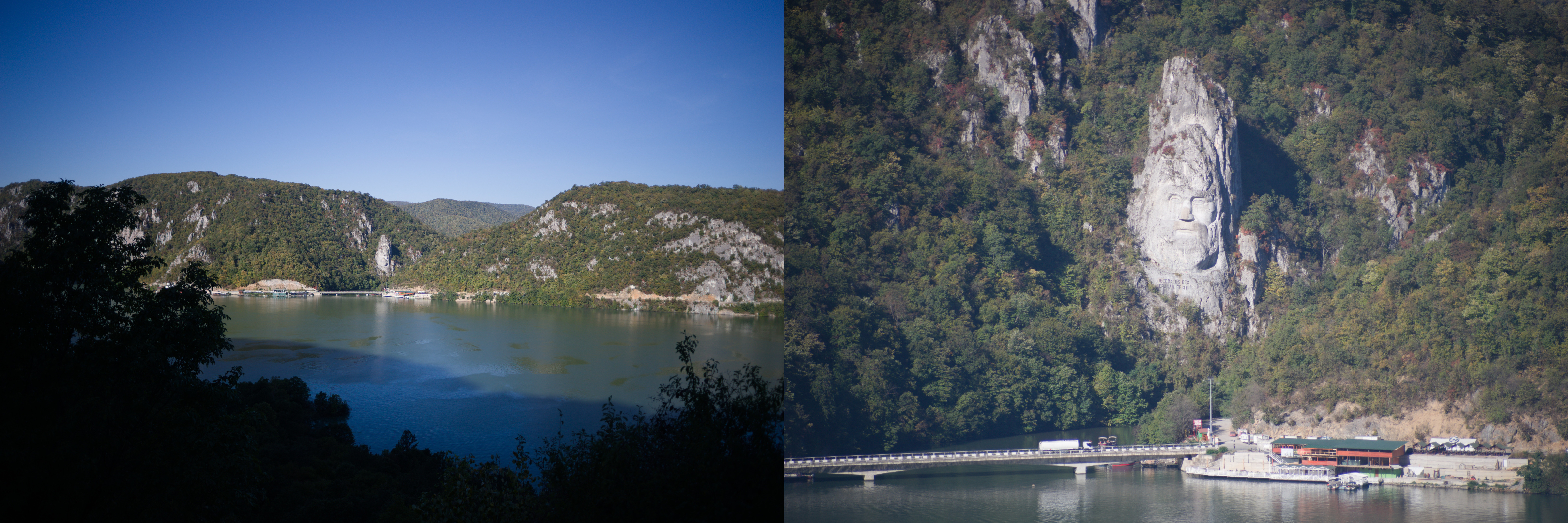
The most famous place of the Djerdap Canyon is the face of Decebalus placed on the rock on the Romanian side of the Danube. Decebalus was an ancient king who fought successfully against the Roman Empire. Today he is a national hero of Romania. The monument is really impressive! That was the first point of my trip where I finally understood that everything that happened or would happen was worth the moment I saw Decebalus!
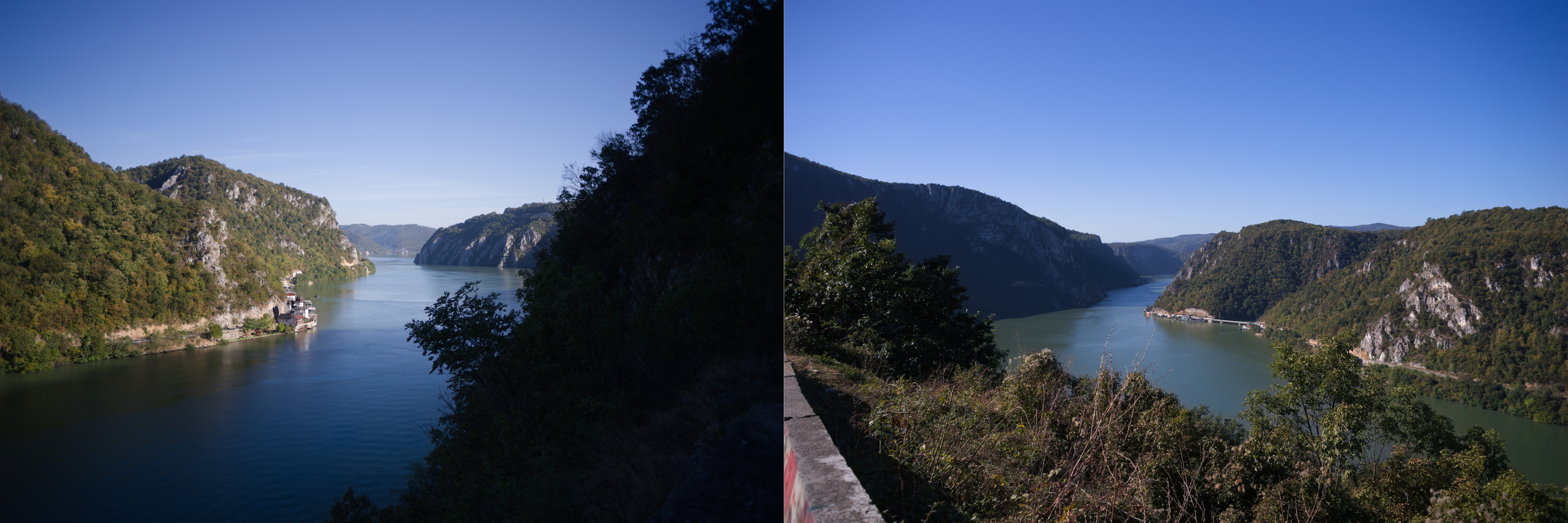
But it doesn't mean, that other parts of Djerdap are boring. Of course not! There are some photos I made during the raod:
But nothing is endless, and after the last climb I left the Djerdap and found myself in the small town Tekija, where I stopped for a coffee and something to eat. There is a big restaurant Panorama, from the second floor you have a nice view:
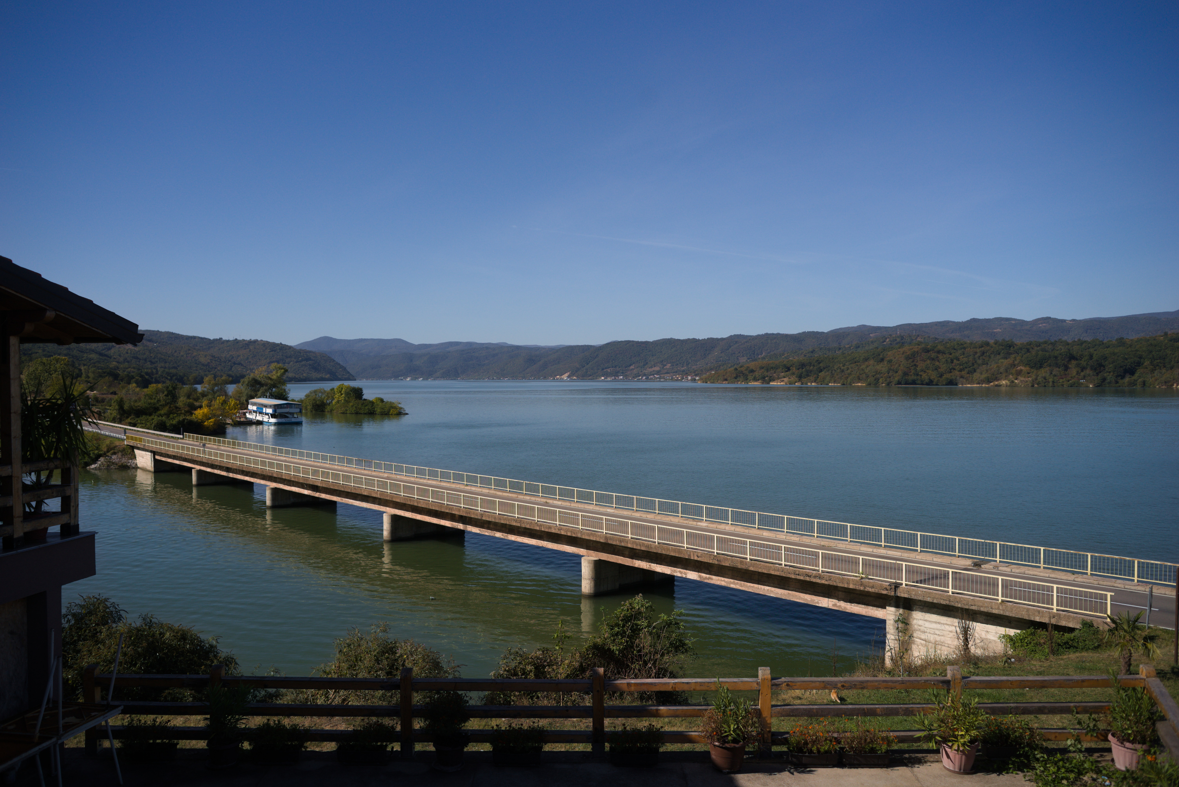
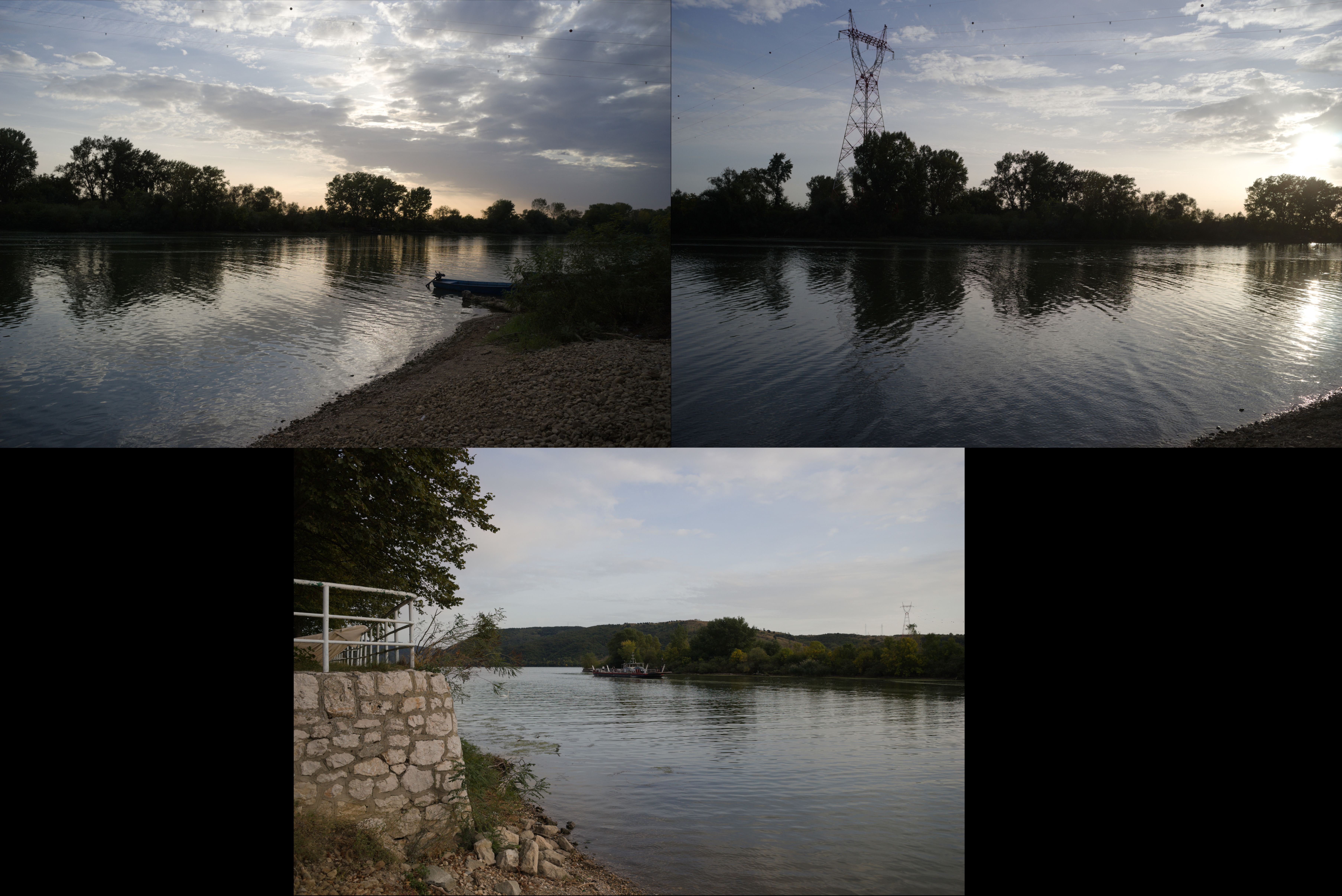
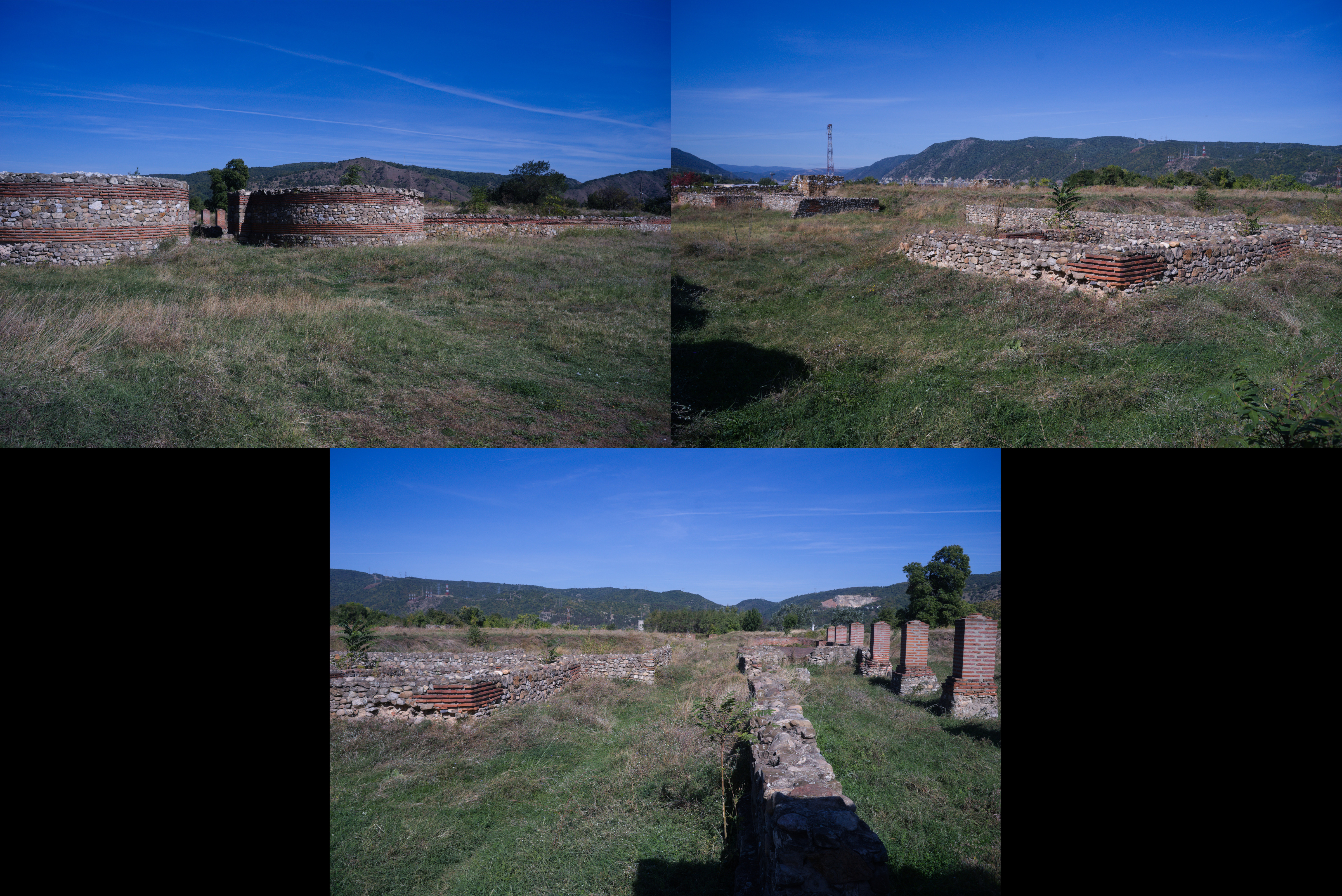
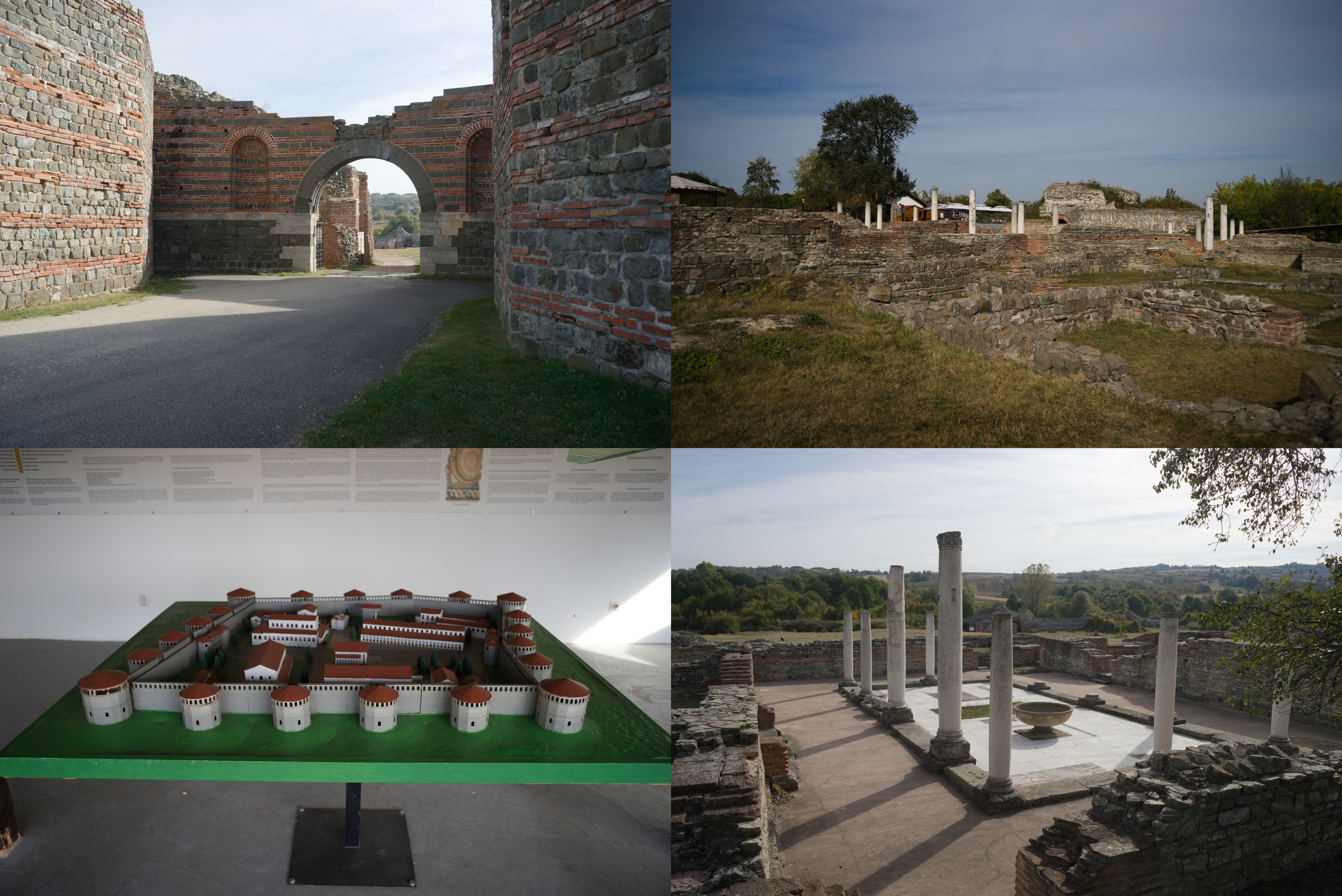
20 km from Tekija is the Djerdap hydroelectric power plant and the bridge to Romania. Be prepared for a very long traffic jam formed by the tracks that turn the two-lane road into a single lane. Do not miss the Diana Fortress about 200 meters from the border crossing. It is an ancient remnant of the fort that was built in the end of the 100 year A.D. And you are free to go inside and have a walk, no need to buy a ticket:
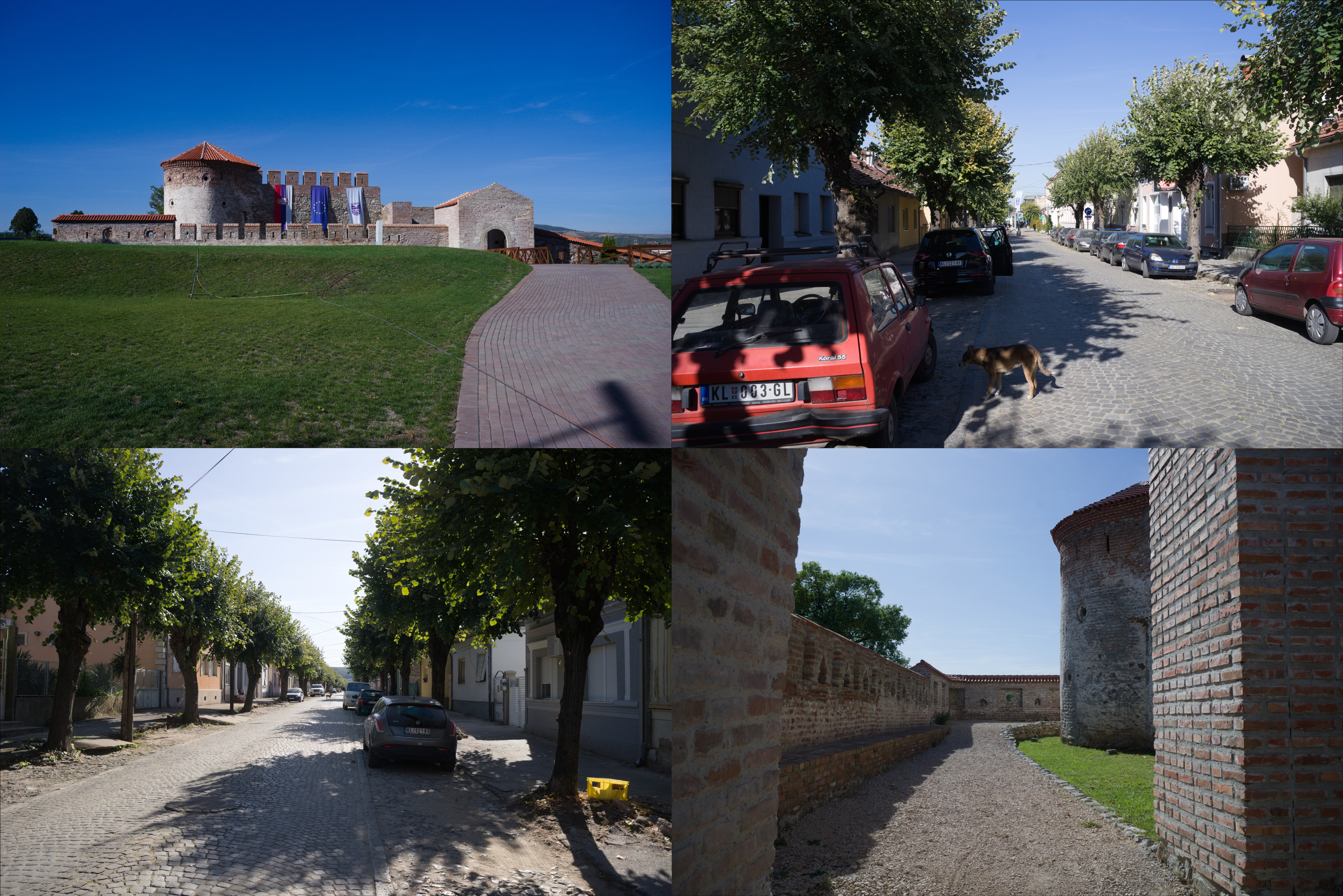
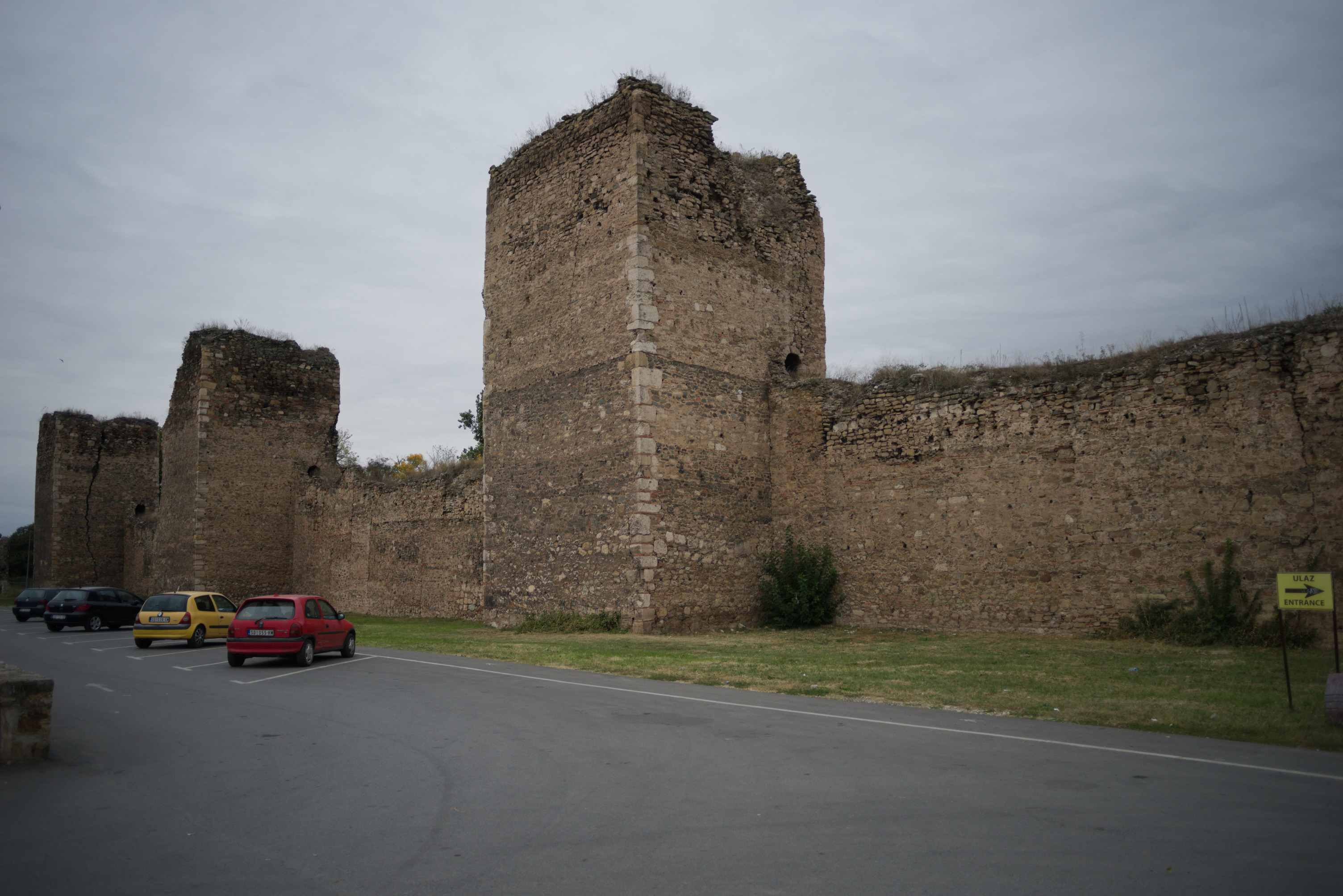
The last major checkpoint on the way is the town of Kladovo, a medium-sized town. There is a fortress at the entrance of the city and you won't miss it, just look at the signs along the road. But oiverall city is very cozy and nice too.
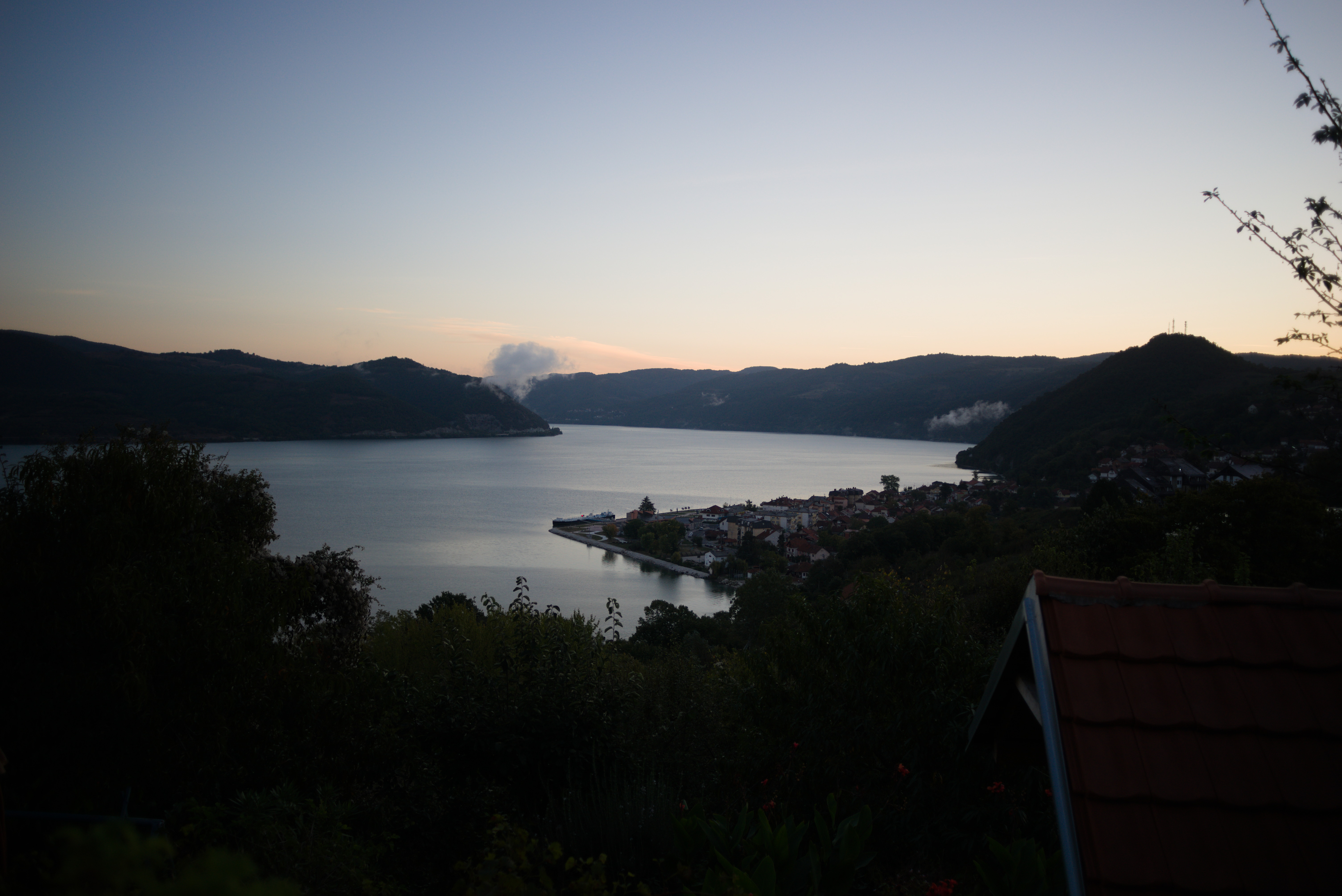
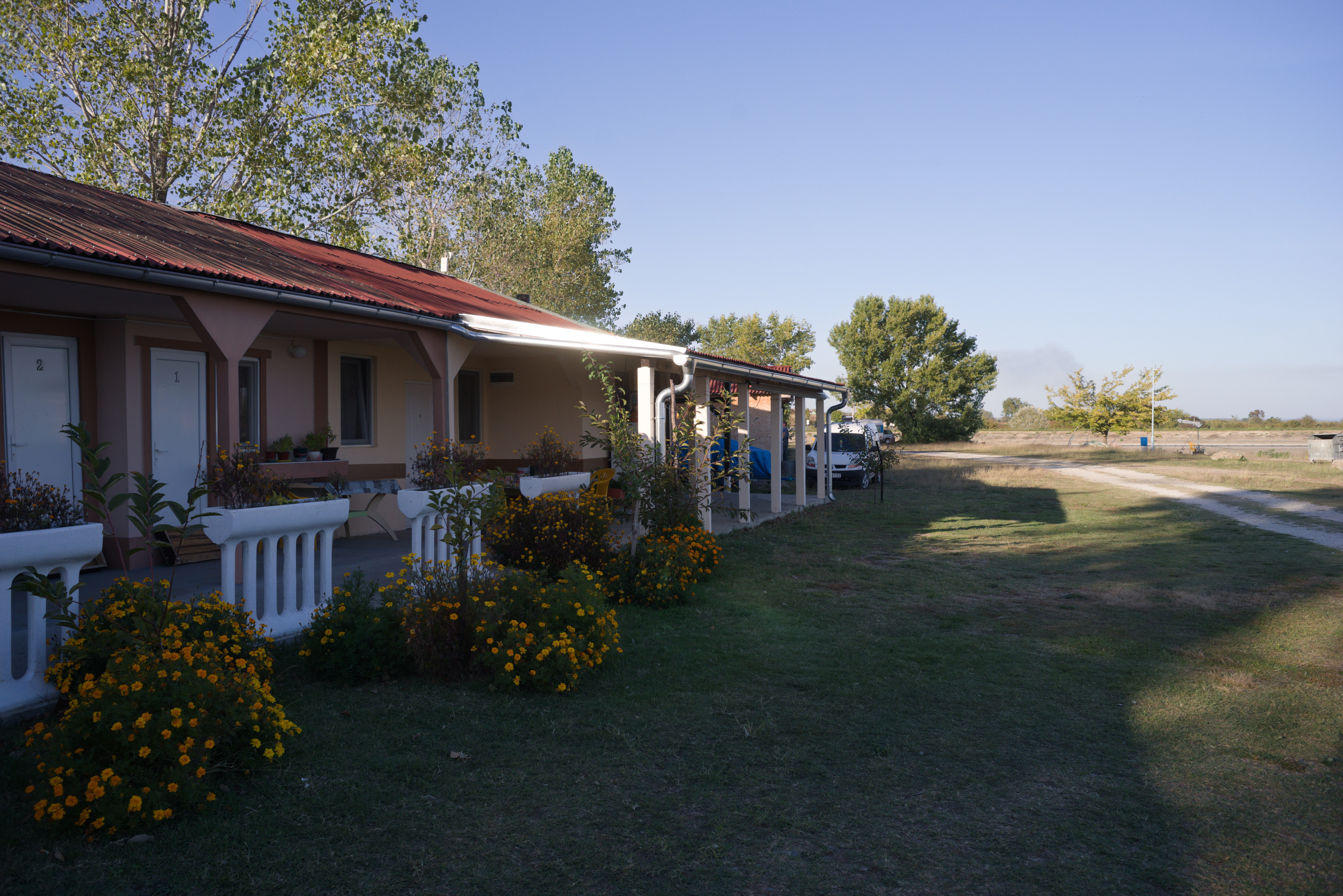
I ended the day in Brza Palanka, a small town famous for it's beach. I stopped at a campsite Mirocka Voda, they have not only places for tents but also small houses and a shower. I cannot say that the place is very comfortable, but there is a bed under the roof, a shower and a restaurant if you are able to have dinner. What else do we need on a trip?
Do not drink a lot of beer in the restaurant, because the next day will be long and tougher than this one! Better to have a good rest and maintain your bike.
The Fourth Day
Brza Palanka - Zajecar
- 135 km
- 1300 m elevation
- 8 hours 30 minutes
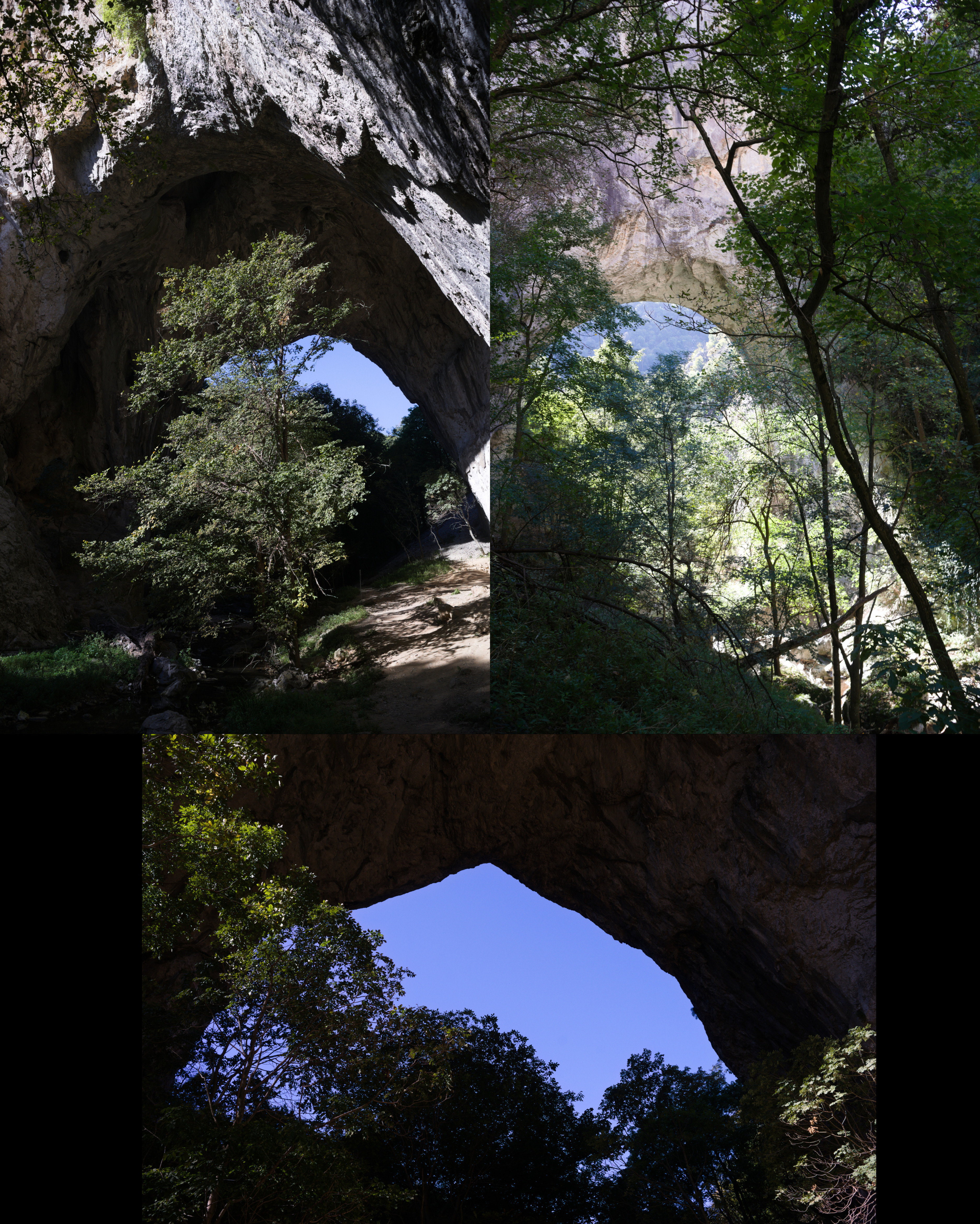
The fourth day was supposed to be easy and relaxing, but I decided to set myself a challenge. About 10 km away from the campsite I saw a sign "Vratna Stone Gates, Nuatural Monument" on the road. Quick Googling gave me a lot of beautiful photos and the knowledge that this thing is really rare not only in Serbia but in the whole world. There are only few such places on the planet and I made a decision to change my route. Vratna Stone Gates are natural stone bridges, a really unique thing. They are located near the Vratna monastery, about 15 km away from the main road. So, visiting Vratna cost me 33 additional km and about 600 meters of altitude. Do not follow my mistake and try to leave Brza Palanka as early as possible, otherwise you risk to finish the road to Zajecar in the dark like me.
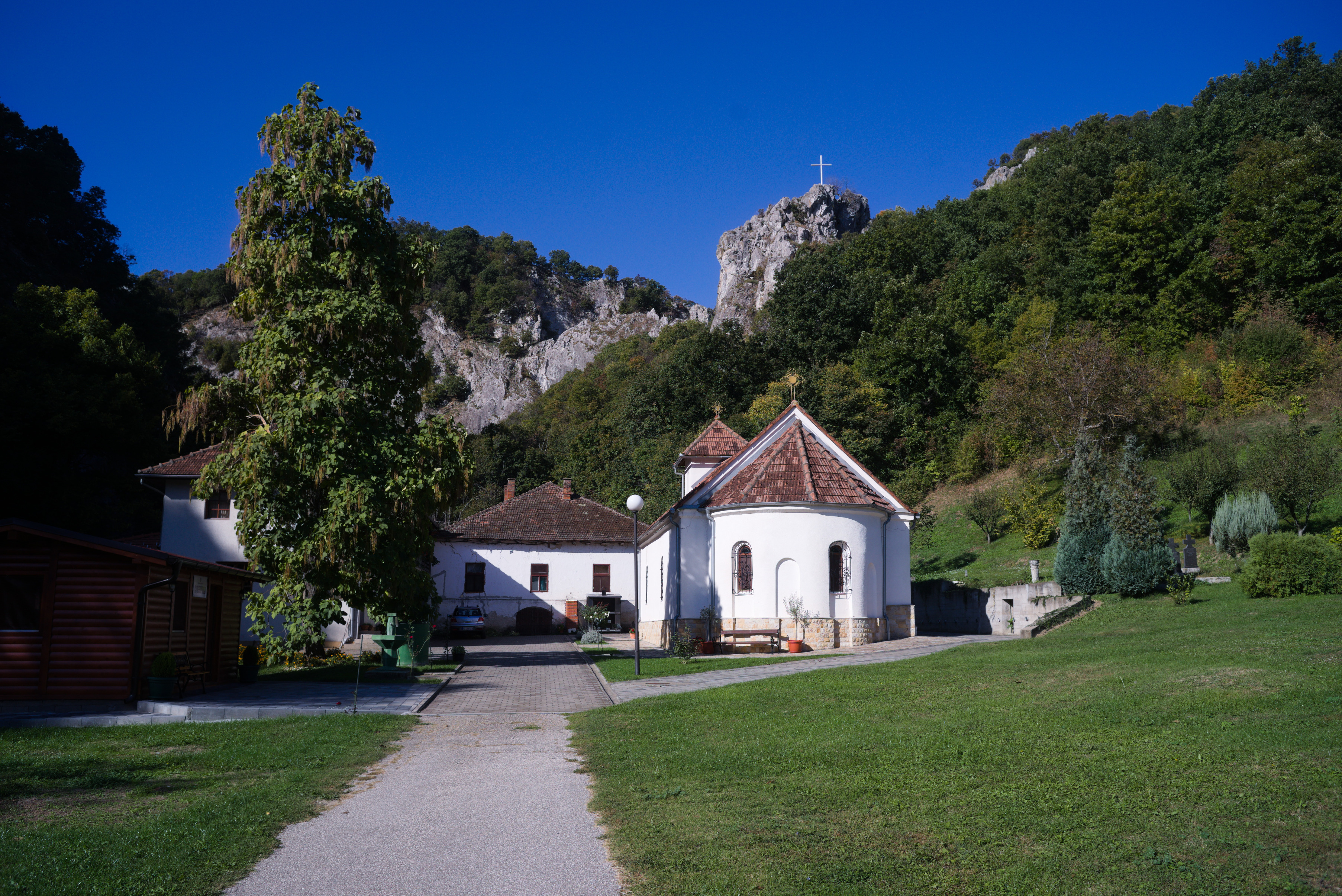
The Vratna monastery itself is a very cozy orthodox monastery surrounded by rocks:
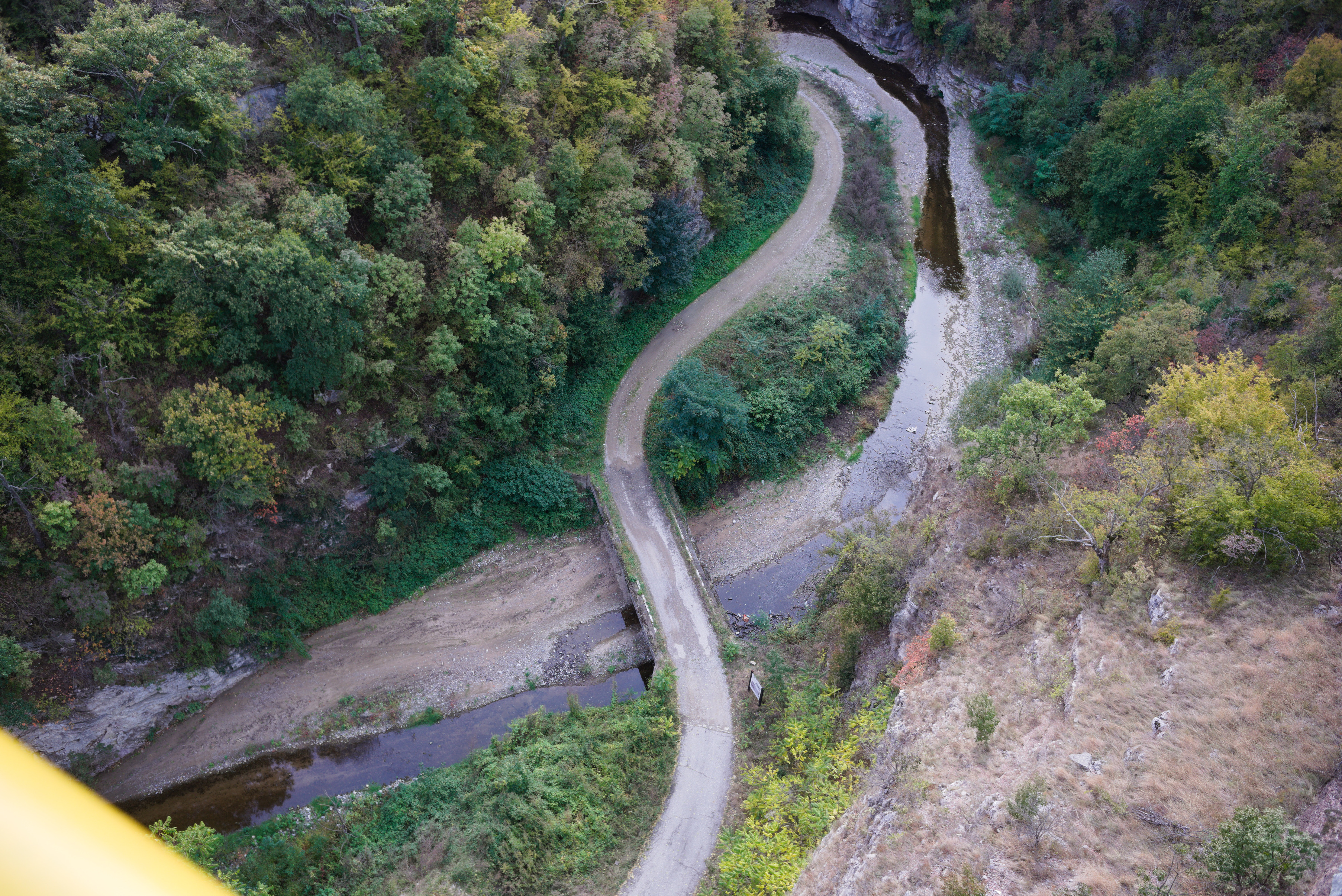
To see the stone gates, you have to leave your bike in the monastery yard, but the monks are okay with it, as far as I understood. The way to the gates is a hiking trail of about 1 km, marked with red circles, so you won't get lost in the forest. And finally you will see this miracle of nature:
Of course it is worth to visit this place, but after returning to the road I found myself 85 km away from the destination and the time was already about 12 pm. So I spent the rest of the day trying to reach the town of Zajecar before it got dark. That is the reason why I do not have many photos of this day, except the one I took in Vratna.
The next big town on the way was Negotin, where I had lunch. Unfortunately I did not have time to look around, I just visited the main square and rode on.
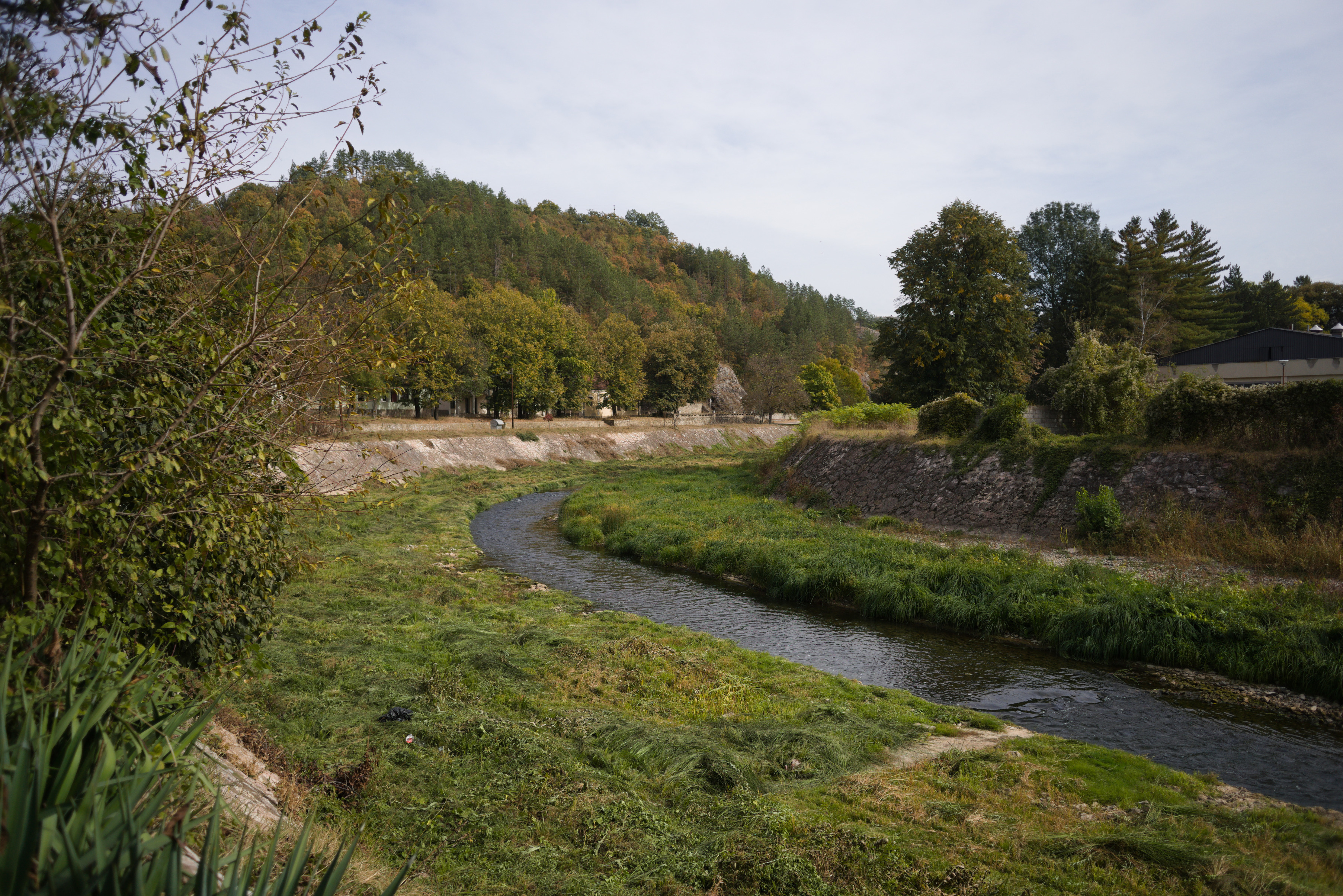
The road to Negotin is very quiet, but has a lot of climbs, one of them in the 3d category and others closer to the 4th. There are not many cars and the road goes through small villages and fields.
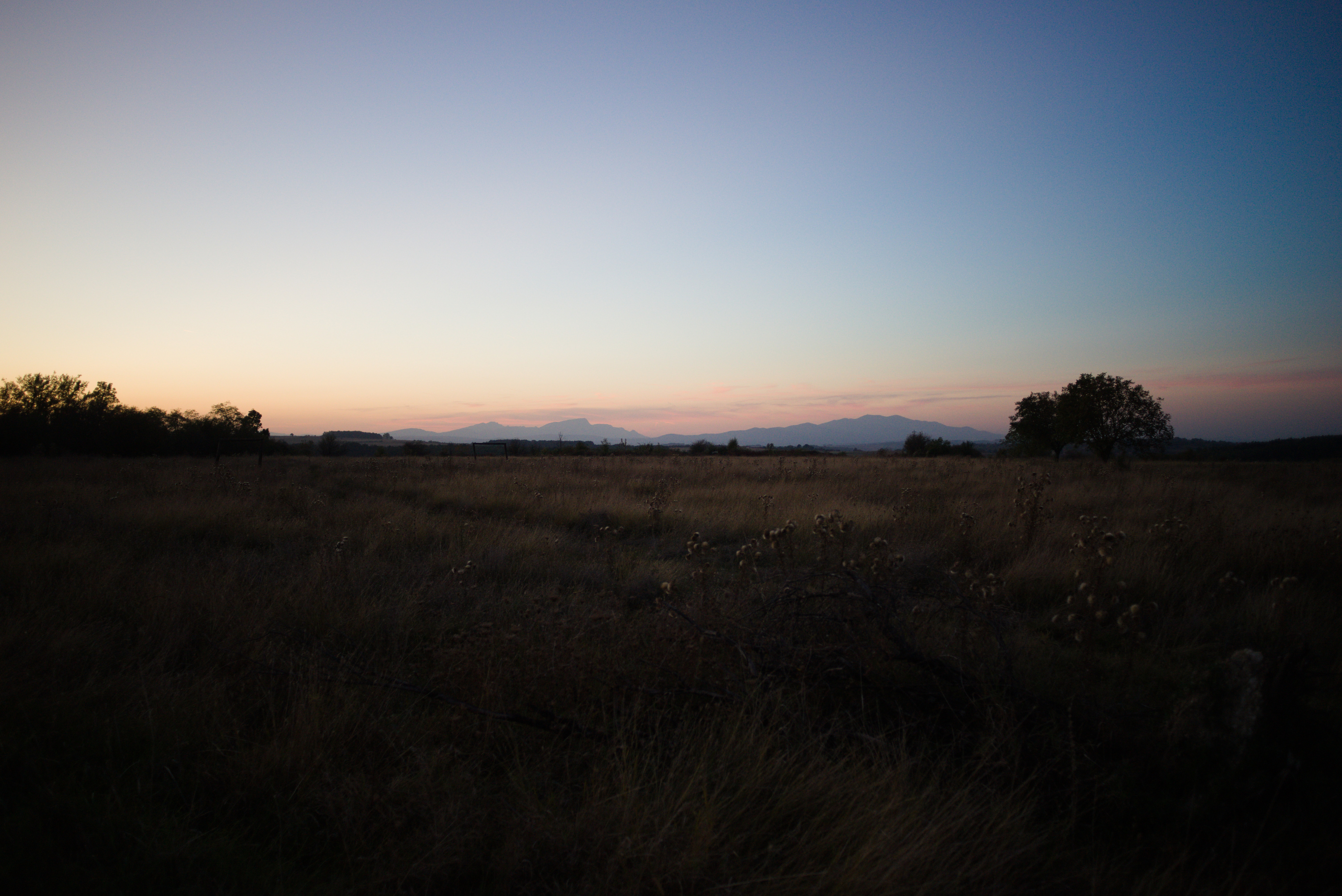
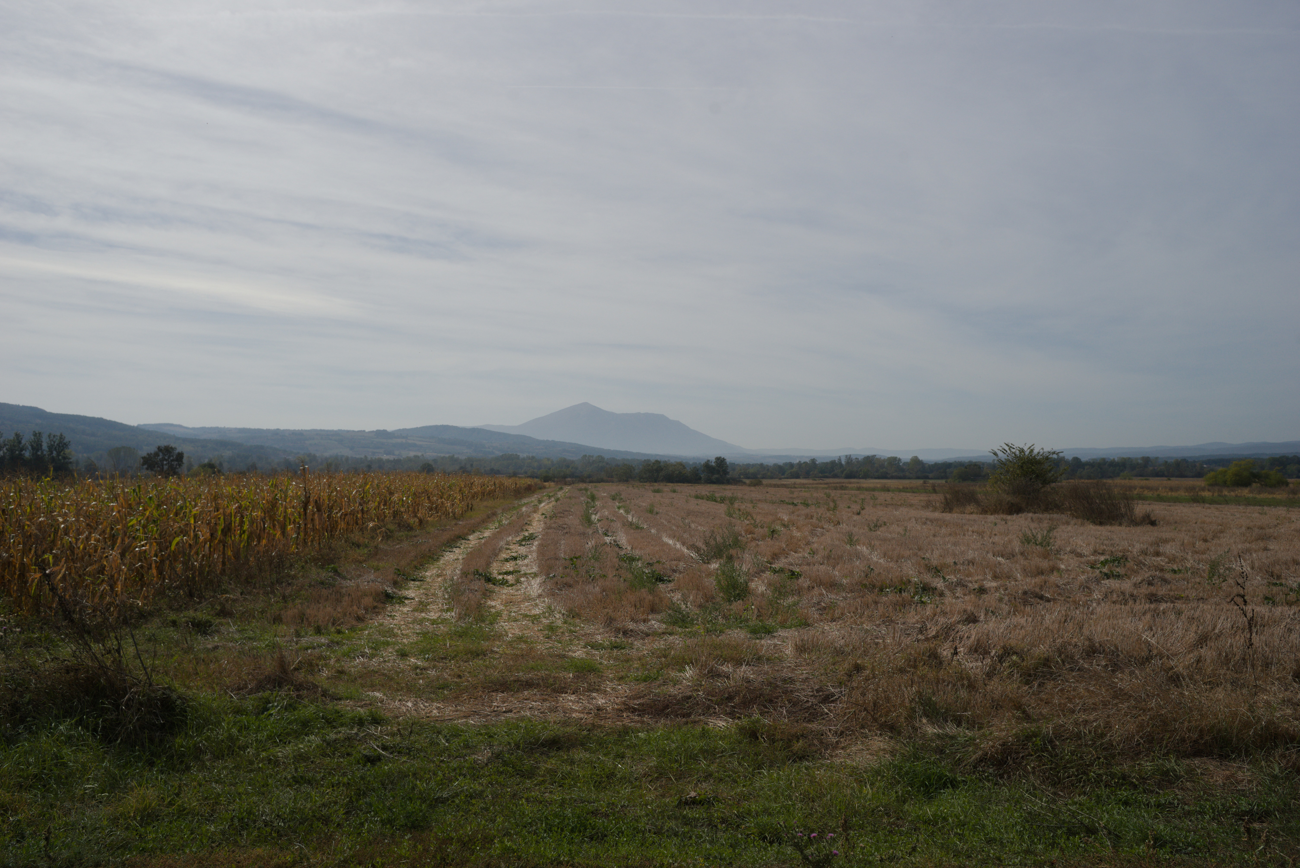
You have to follow the signs of EuroVel that will be on the way and that will tell you the remaining distance. After the last big climb you will be able to see the silhouette of Kucaj mountain in the distance. This is your goal for tomorrow, but for today you just need to finish the climb and after that there will be a long nice downhill almost to the town of Zajecar.
I made a stop in Zajecar in the apartments near the theater. It is called Teatar Apartment, there is an option to put your bike in the room. There is also a bathroom and a washing machine, so you can finally clean your clothes. You should also try the Zajecarsko beer here, just because this town is the home of the brand. I can recommend this pub, they give you not only nice beer, but also the food is very delicious!
This was one of the hardest days for me in terms of total altitude and length. My mistake was to leave Brza Palanka so late that I had to ride the last descent in the dark. Do not make the same mistake!
The Fifth Day
Zajecar - Lisine
- 90 km
- 1400 m elevation
- 8 hours
The day began by visiting a Felix Romuliana, or Gamzigrad. It is the very interesting place, remains of the Roman imperial palace of the III century A.D. It is placed about 10 km far from the Zajecar city. You can buy a ticket, in 2023 the price was 500 dinars (∼ 4.5 Eur).
The next point will be the small village Gamzigradska Banja:
After a short climb you are on the road. It is quite busy, but you only have to ride about 15 km here. There is a tunnel on the way and it is quite long, about 500 meters. I strongly advise you not to go inside just because of the traffic. It is safer to go around, there is a dirt road on top, I marked this place in GPX.
Next you will follow signs to the city of Sumrakovac and next to fields. This part of the way is very relaxing:
Your next middlepoint is the town of Zlot:
Make sure you have rested enough here and fill your water packs and snacks. The next part of the day will be a very long climb on the gravel road and the same downhill. This route has lack of civilization, you won't be able to fill water packs except from natural springs. And there won't be any places where you can eat or buy food until the destionation. Also almost the whole way there will be a problem with cell phone connection. Long story short, you are going into the wilderness!
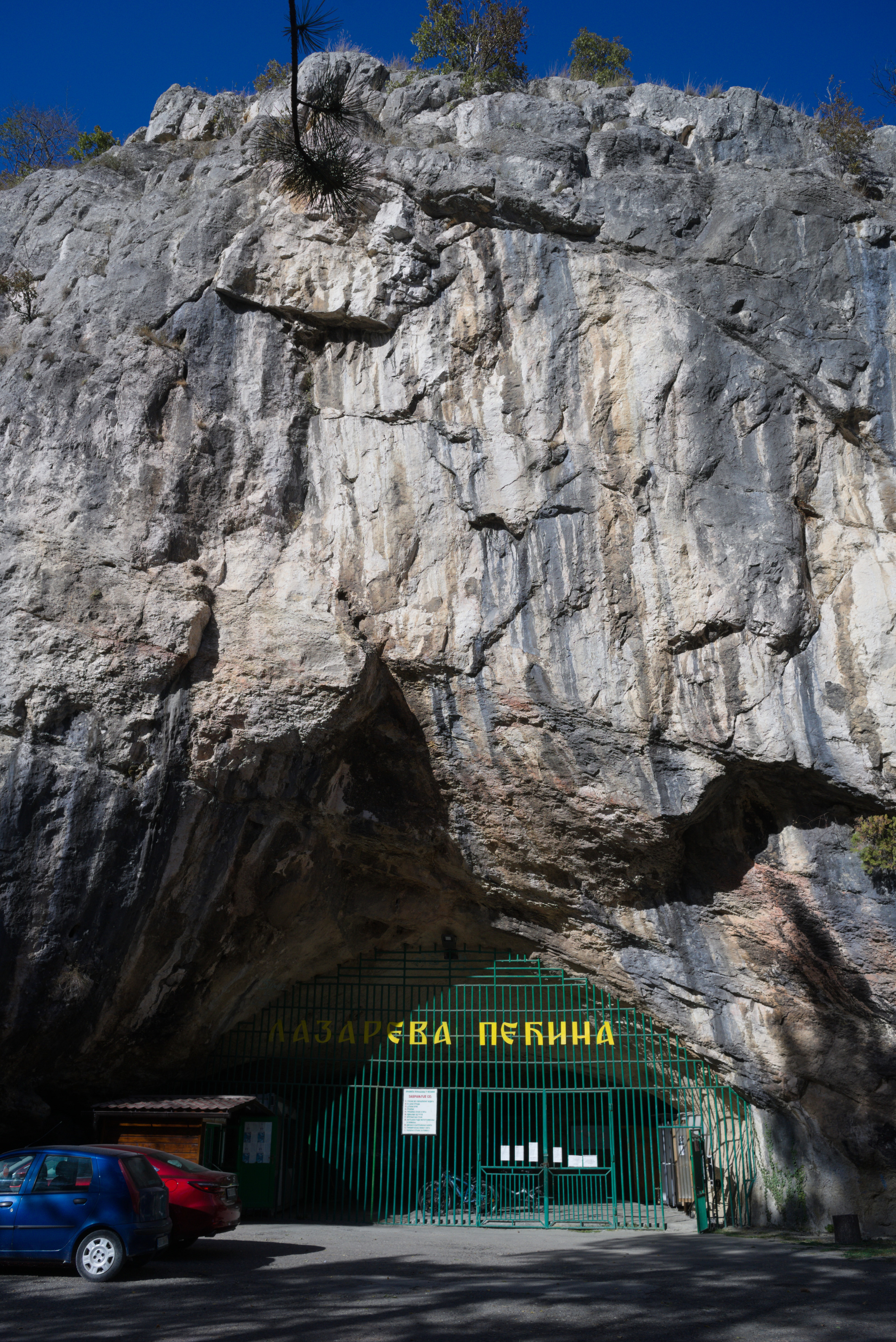
I suggest to save for the last part of the way about 5 hours at least. If you will have enough time in reserve by the moment, you may visit Lazar's Cave (or Lazareva Pecina in Serbian). It is about 500 meters away from your road.
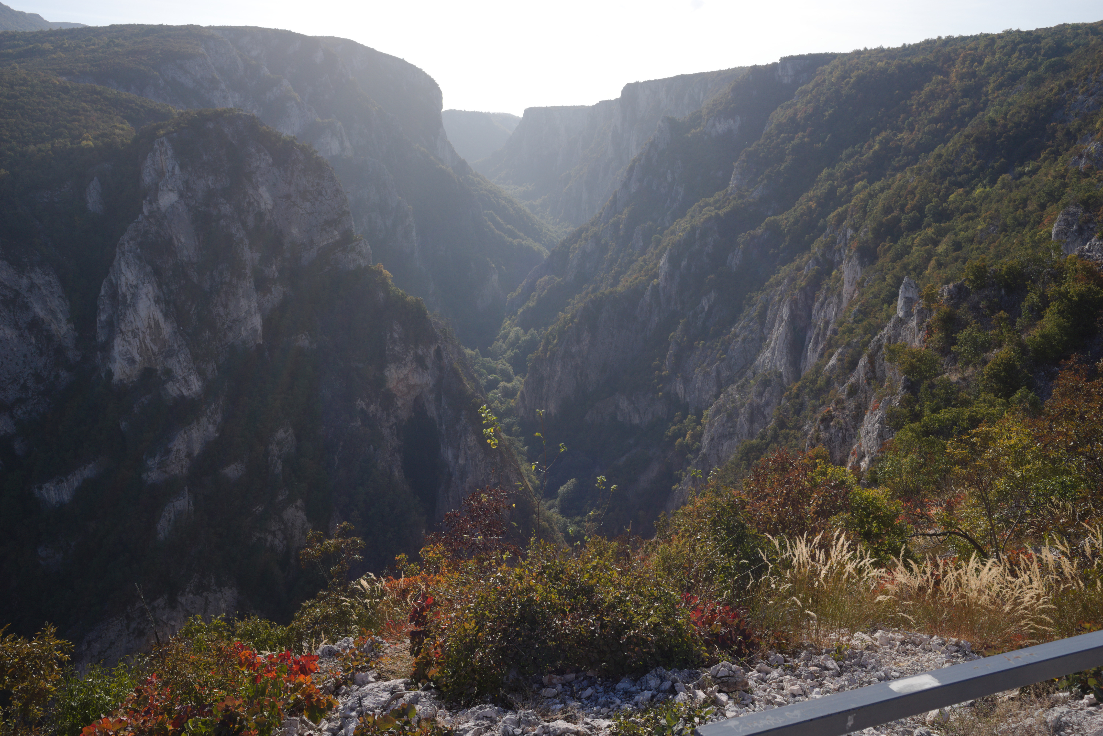
After that you start the hardest climb of the whole route: the road along Lazar's Canyon. It is a second category climb, but since the road is hard gravel, I would say it is closer to the first category by the amount of time and effort needed to pass it. The only positive thing here is that there are no cars. When I passed it I saw only one car for 5 hours. It starts with a part of about 4 km with a very high gradient up to 14-15% and after that a long part of about 7 km with an average gradient of about 6-7%.
On the top of the first part of the way you will see Lazar's Canyon from the best possible viewpoint. Believe me, all your pain and suffering will be worth the only moment when you will be 650 meters above the sea, looking at this fantastic wonder of nature…
It was then that I finally understood that I was off schedule. The sun was setting, 300 meters of climbing and a long downhill awaited me. The road is so hard that I could not go faster than 10-13 km/h even on the downhill. In addition, I realized that there are no cars, no people and no mobile phone connection. It was a really scary moment for me and I didn't take many pictures for the rest of the day.
I will say it again: do not underestimate this part of the route. Before the trip, I trained specifically for second category climbs to understand the time and effort required. But after four days and more than 400 km, there is a lot of cumulative fatigue. Also, as I mentioned before, the road is so hard that in some places with high gradients, my 35mm tires just slipped on small stones of the road. So on some parts I was forced to push the bike instead of riding. Bikepacking turned into bikehiking…
When the sun finally went down, I just started the 20km downhill. It was really scary. Going down on hard gravel in the forest with a gradient of -14-16%, a lot of big stones or fallen trees on the way, small streams somewhere crossing the way and absolutely no people or any signs of civilization. I made it in about two hours. After that I decided that I had risked enough on this trip, I had so much cumulative fatigue that I was making one mistake after another in planning and I needed to change something. I decided to rest in Lisine for a whole day and then go to Belgrade by the shortest route.
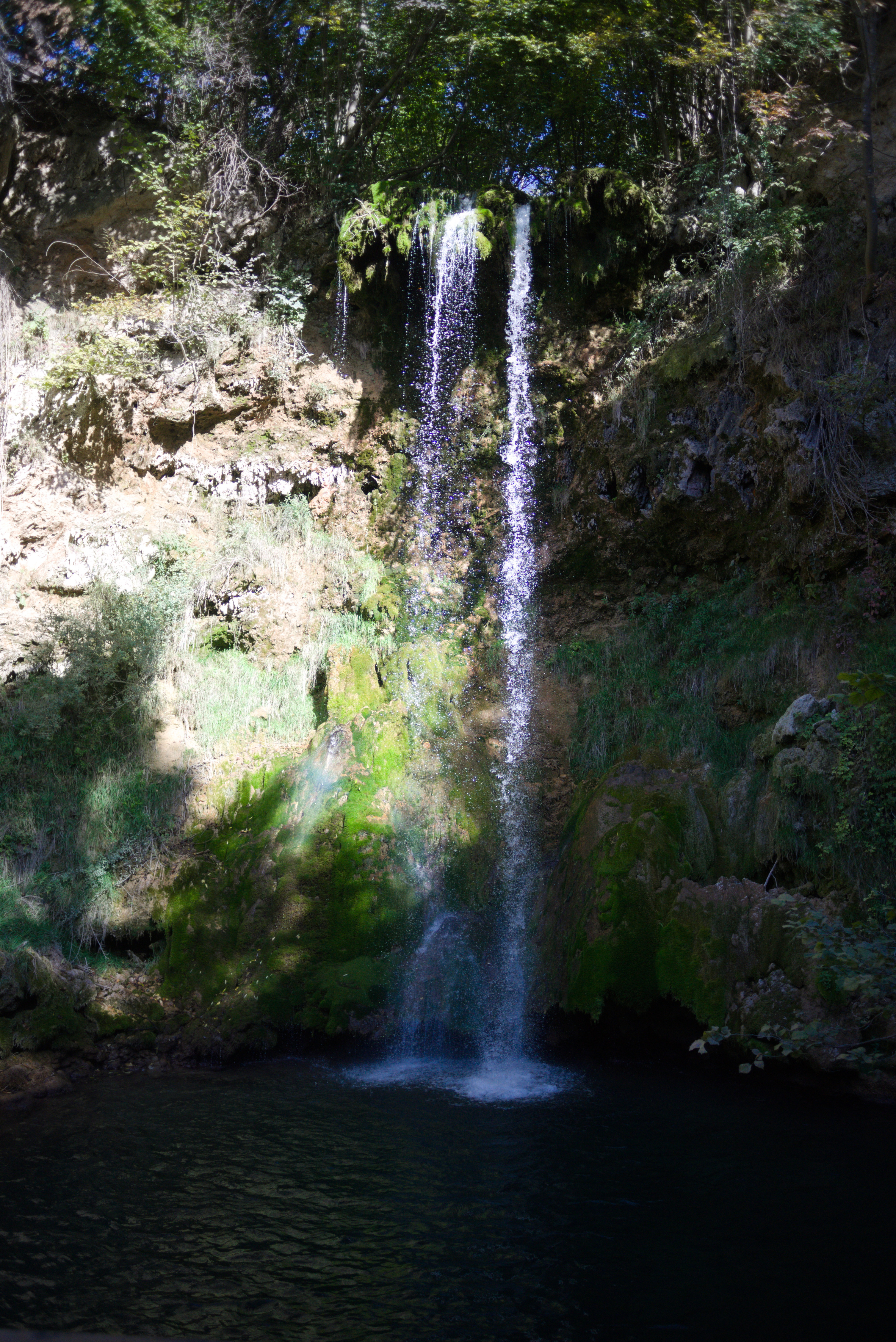
I made a stop in Izvor Lisine, a hotel and conamed restaurant. I can recommend this place, good balance of price and quality and also it is only 250 meters away from the main waterfall.
The Sixs Day
- 0 km
- 0 elevation
- 0 hours
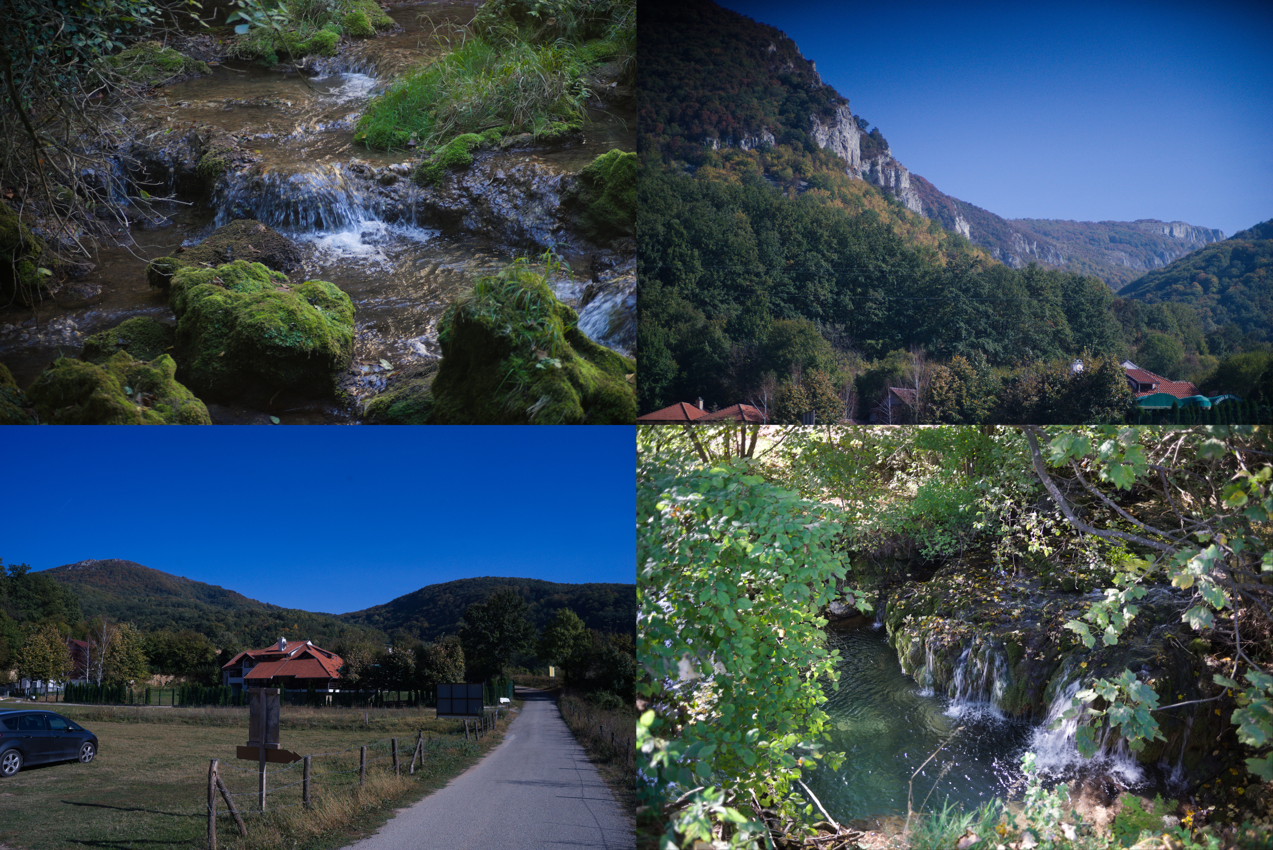
Lisine is a very nice place. An island of civilization in the middle of Kucaj-Beljanica National Park. It is named like the very big waterfall Lisine (or Veliki Buk that may be translated like Great Beech):
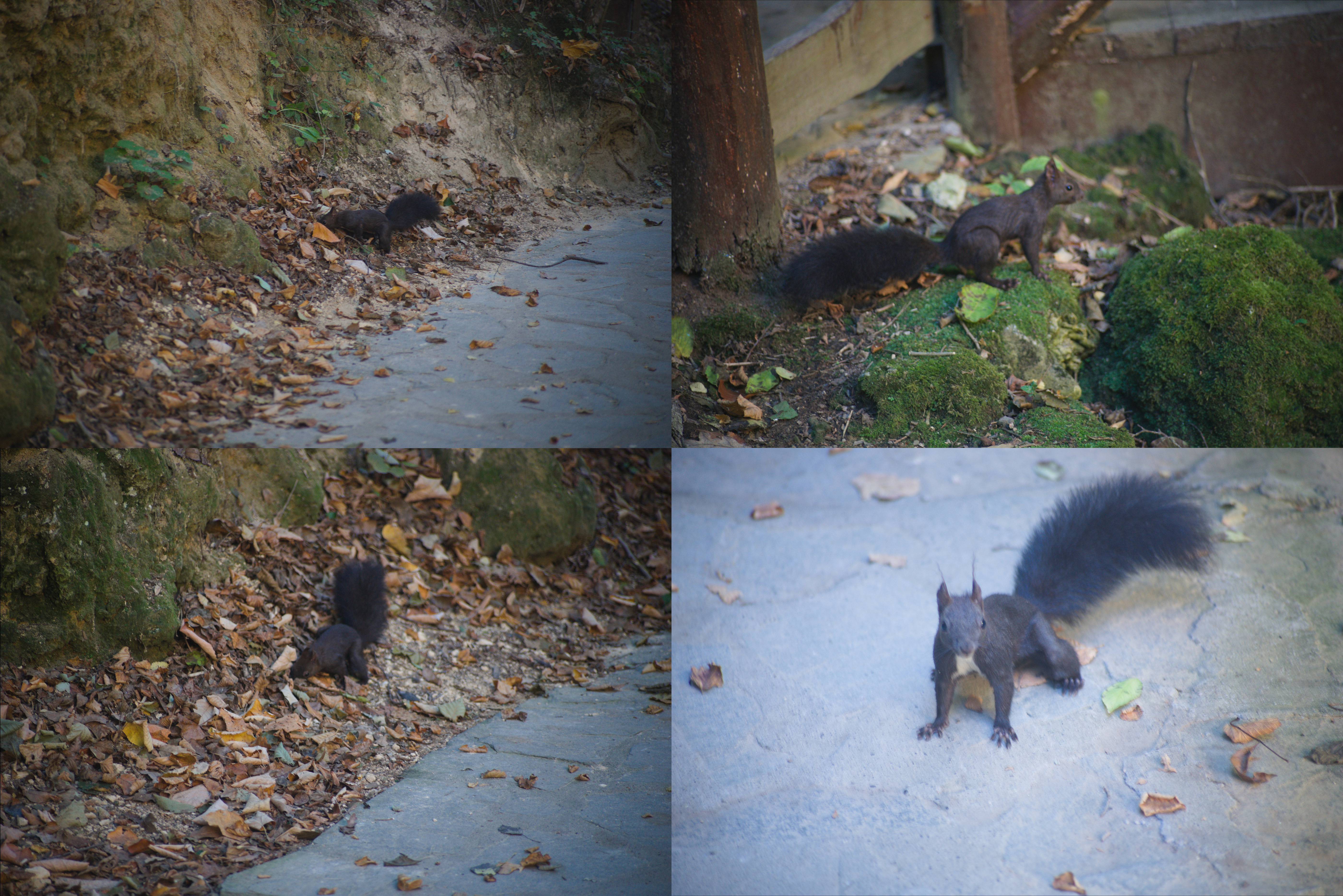
If you go to the waterfall early in the morning, you may see "locals": small black squirells looking around the waterfall for food left by the tourists. I'm sorry for the quality of the photos, it's not an easy task to photograph the fast moving squirell through the manual focus lens. Especially if it is your first time photographing animals!
I spent the first half of the day walking around, taking pictures of the environment. And the environment is really beautiful! There are a lot of waterfalls, natural springs coming right out of the rocks, and nice views of the surrounding mountains. Also, I found a lot of signs to the hiking trails, some of them long and hard, but some not so, like 3-5 km. Because of fatigue and the goal of the rest I decided to skip them this time, but you can make a try!
It may sound crazy coming from the person who decided to do a solo bike trip, but in that moment it was so cool just to sit with the understanding that you don't have to ride anywhere that day!

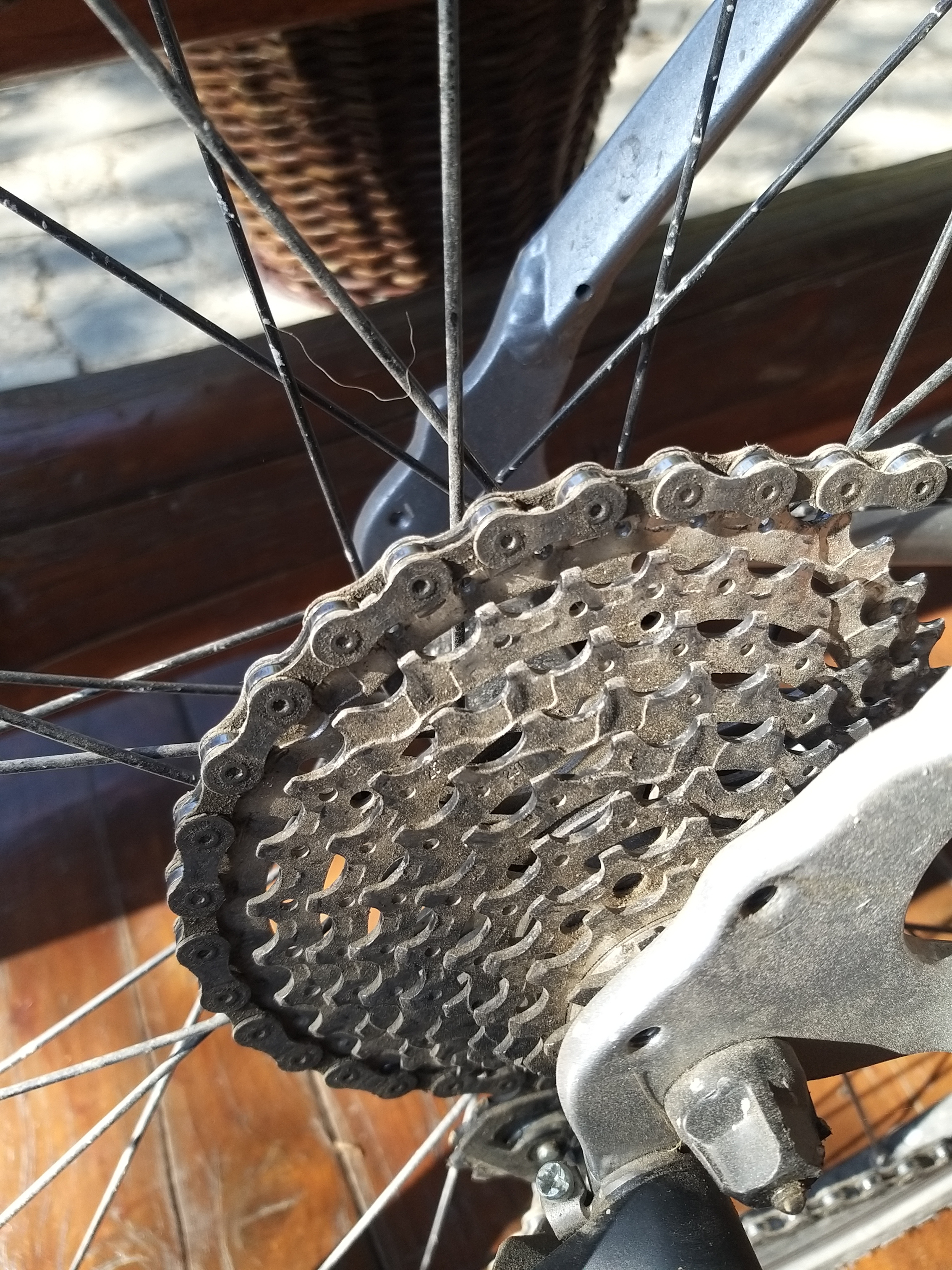
I also had time to finally do some maintenance on my bike after the hard gravel roads. Here's what my cassette looked like, covered in sand and dust:
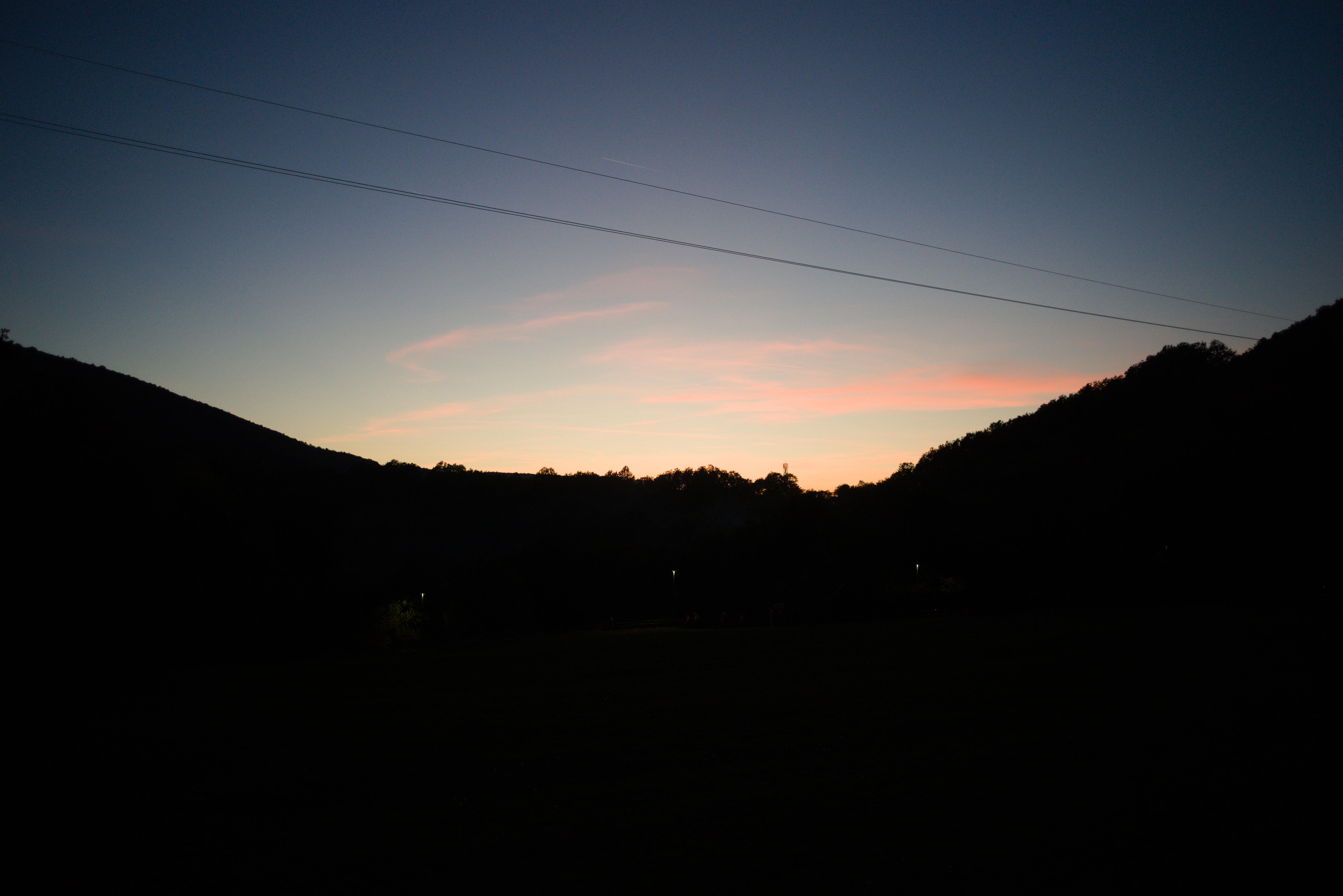
I met the sunset well rested and in a good mood. I made a decision that I will try to cover 175 km to Belgrade without stopping. But of course I also prepared a backup plan that I could spend one night in Pozarevac city which is about 90 km far from me.
The last Day
- 175 km
- 1130 m elevation
- 9 hours 50 minutes
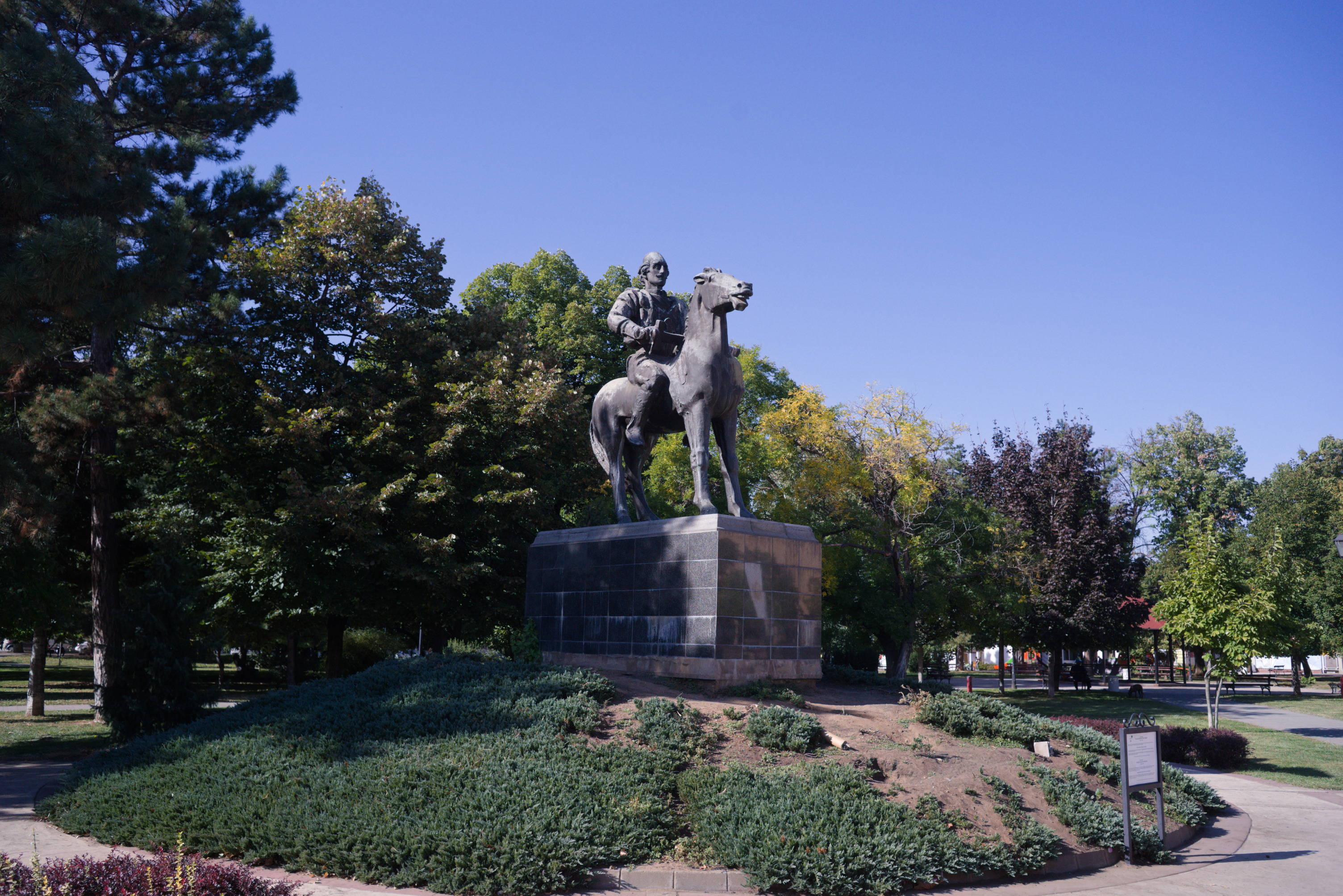
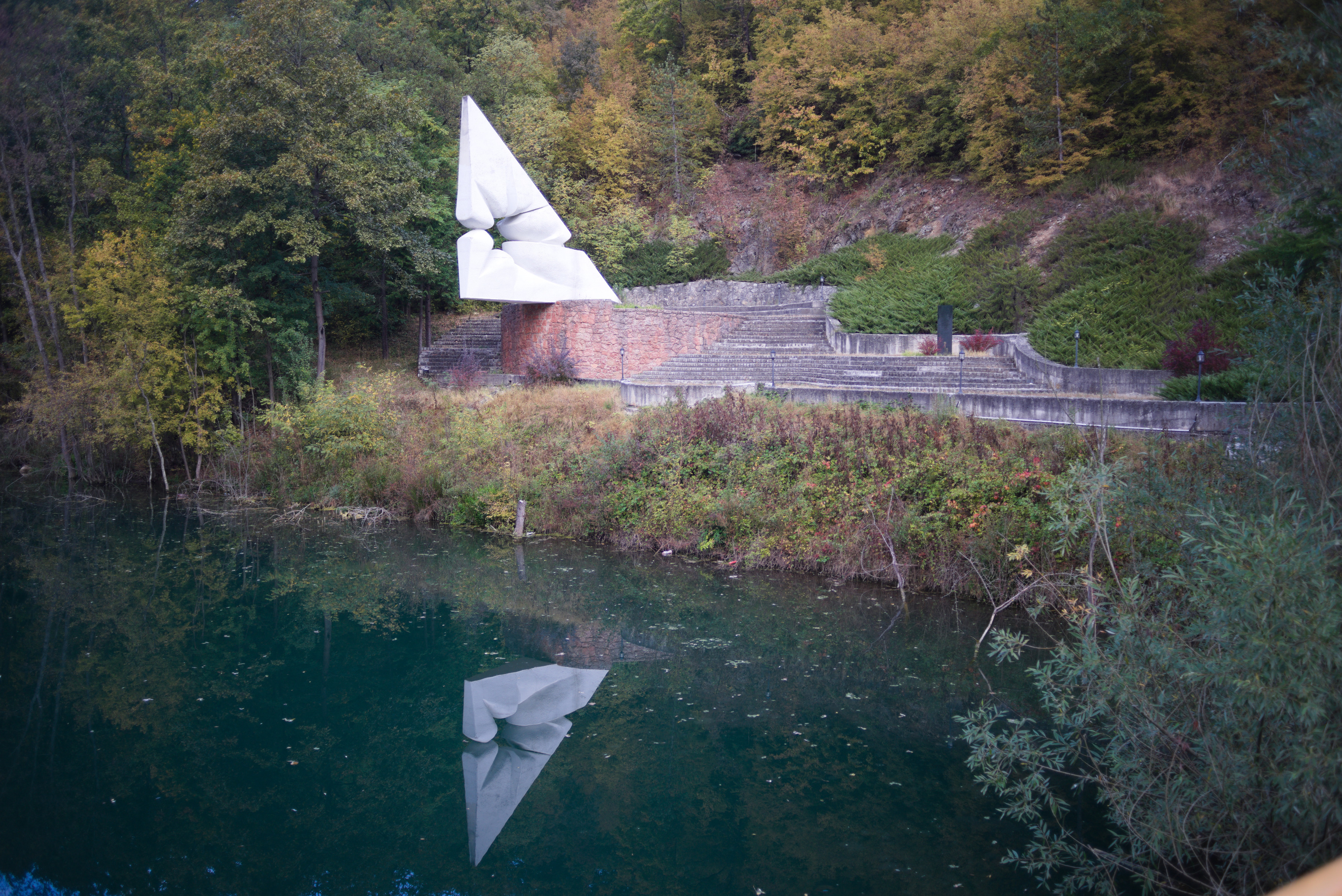
In the morning I said goodbye to the mountains and started my way. Due to the necessity to cover 175 km I did not make many stops to take photos. But one place in Kucaj-Beljanica I want to show you. It is a very beautiful monument in the form of a stone flower, placed in the middle of nowhere. Do not miss it!
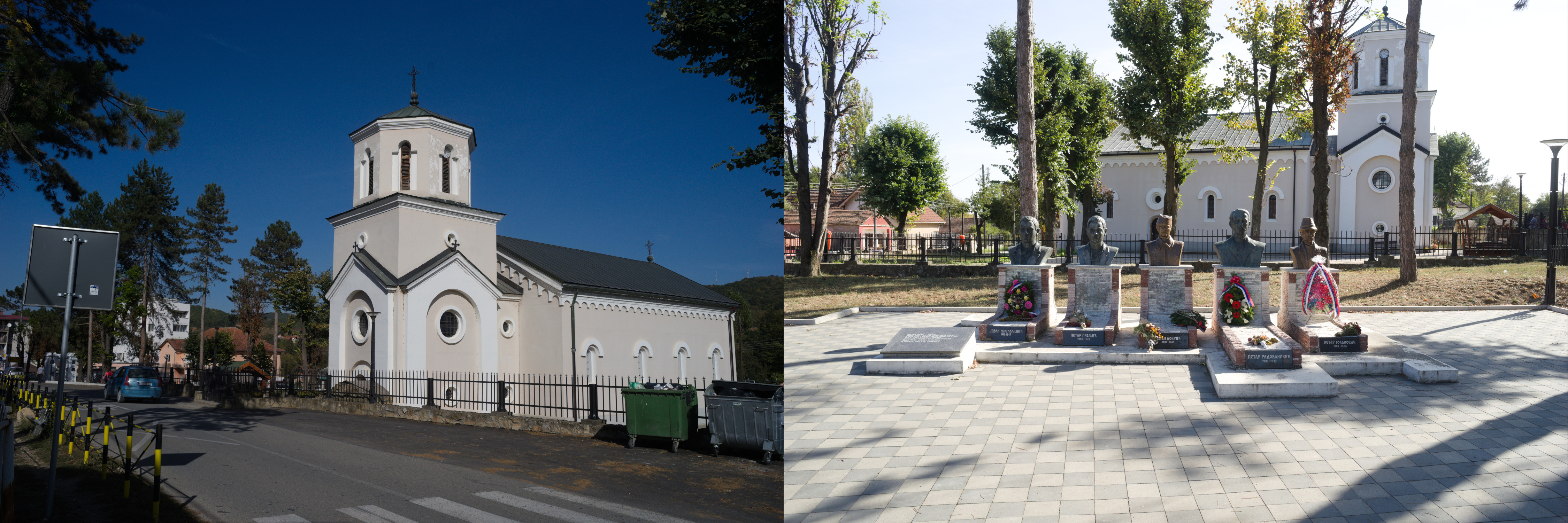
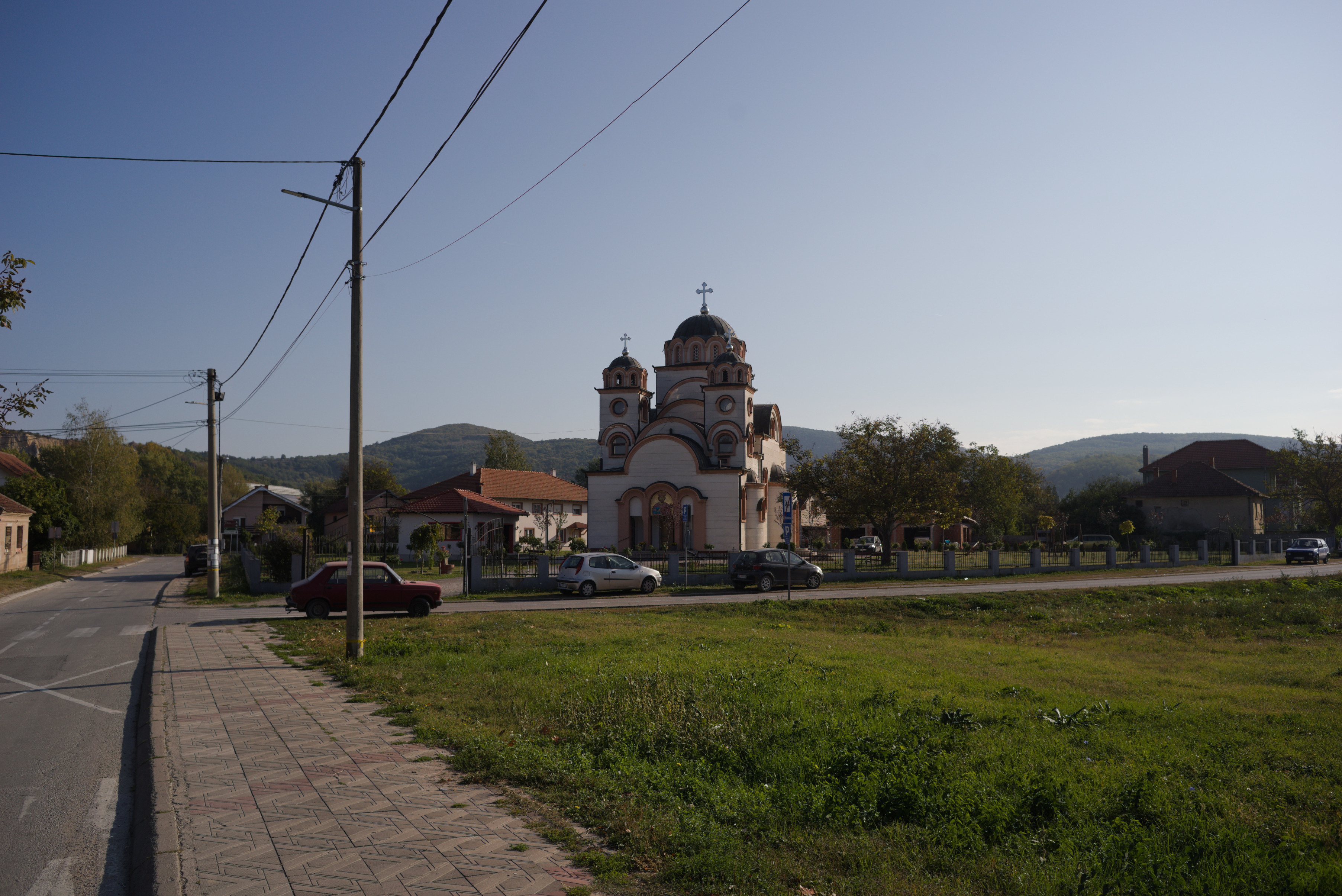
The road is mostly downhill, there is only one 4th category climb until you reach the town of Decpotovac, where I had coffee and cake. Unfortunately I didn't have time to look around the town, I just saw an orthodox church and some Yugoslavian modernist architecture on the way.
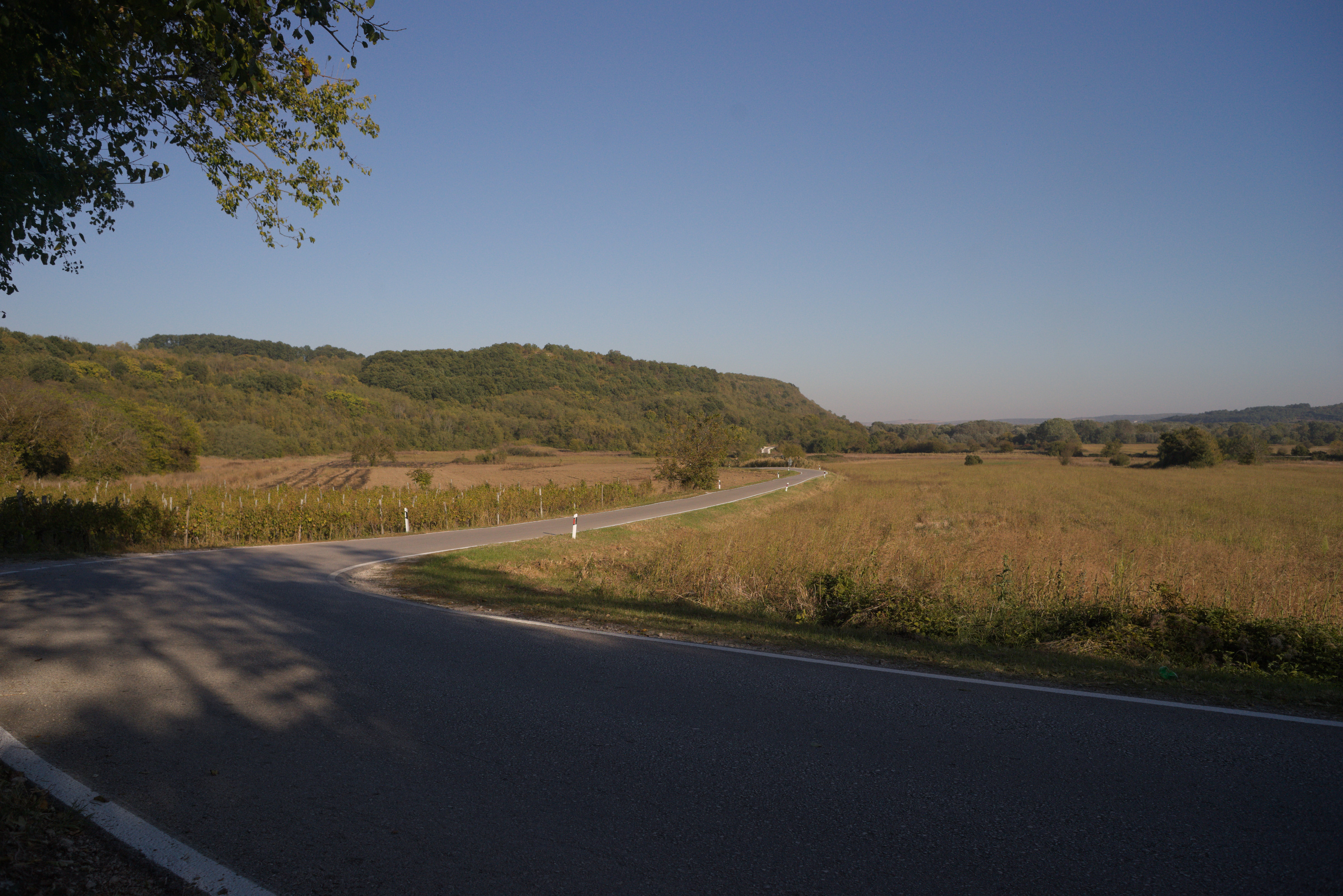
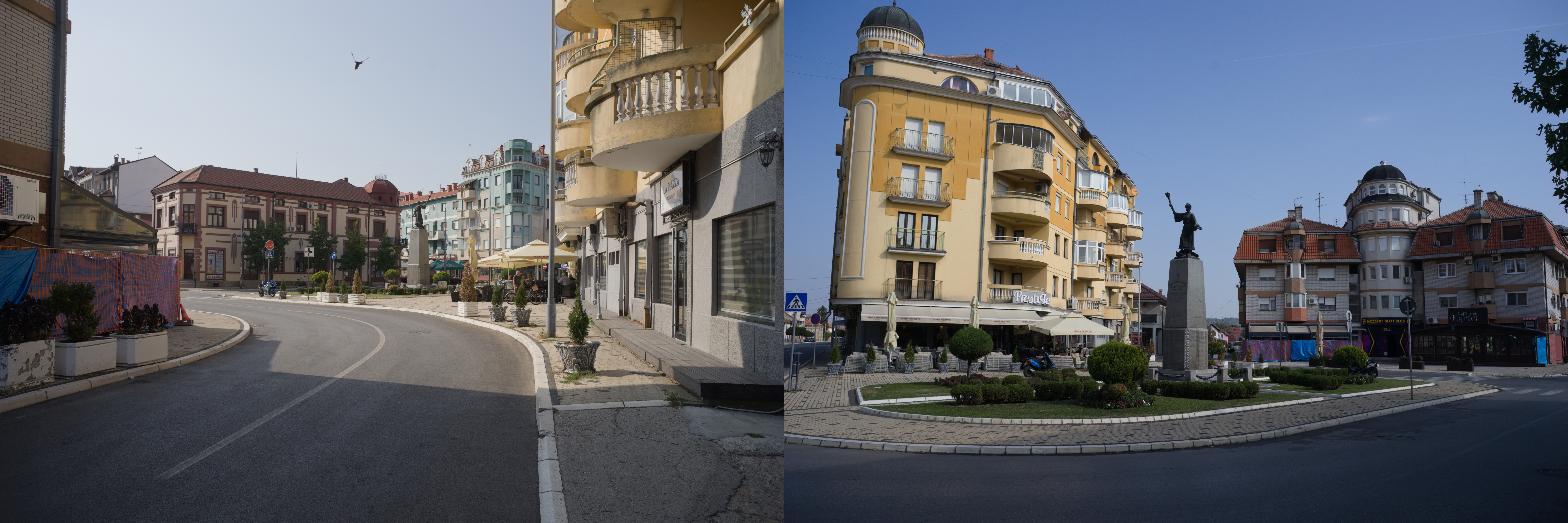
At this point of the way mountains will be left behind and the road is going be boring a little. Endless fields, nothing special to be honest. The only place I found interesting is the town of Svilajnac.
The weather was getting worse and worse, strong wind from the front and the forecast promised rain in the Belgrade area after noon. Nearer to Pozarevac I started to feel fatigue, but I had understanding that I do not need to go tomorrow and decided to reach the goal. From Pozarevac you just have to follow the signs of another EuroVel route in the direction of Smederevo. Smederevo is an interesting place with an old fortress. But I didn't have enough time for it and I already visited this town during one of my vacation bike trips.
The route from Smederevo to Belgrade includes three climbs, two of which are categorical (4th category). Keep it in mind and maybe make a stop in the city if you feel tired by this moment. Also Smderevski Put, as the road is called, is quite busy road, so be sure that your rear lights have enough power left. Belgrade hit me with a hard rain and I spent about the whole hour for the last 8 km of the way in the city. But it was a nice challenge as the cherry on the top, I think I closed the season worthy!
Conclusion
I cannot say that this route is very difficult. There is nothing special on the way and only one really wild place. You will have enough food and water along the way. At the same time, such a trip is a nice way to get to know Serbia, to see small villages and big cities of this country. And of course, mountains! Djerdap canyon is fantastic, Lisine is beautiful and I have no words to describe my feelings when I stayed on the viewpoint of Lazar's canyon! So, I hope my post can help you with planning and good luck on your way!
Afterwords
Prices and information are current as of Fall 2023. If you have any kind of update, please contact me via email ssinchenko@pm.me, or if you have a GitHub account, you can open an issue in the repository where my blog is hosted.